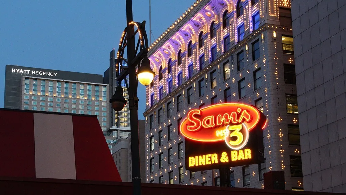
Fort Collins, one neighborhood at a time
From Old Town's brick blocks to the sugar beet colonias across the river and the bike shops of Midtown, here is how Fort Collins's neighborhoods fit together.
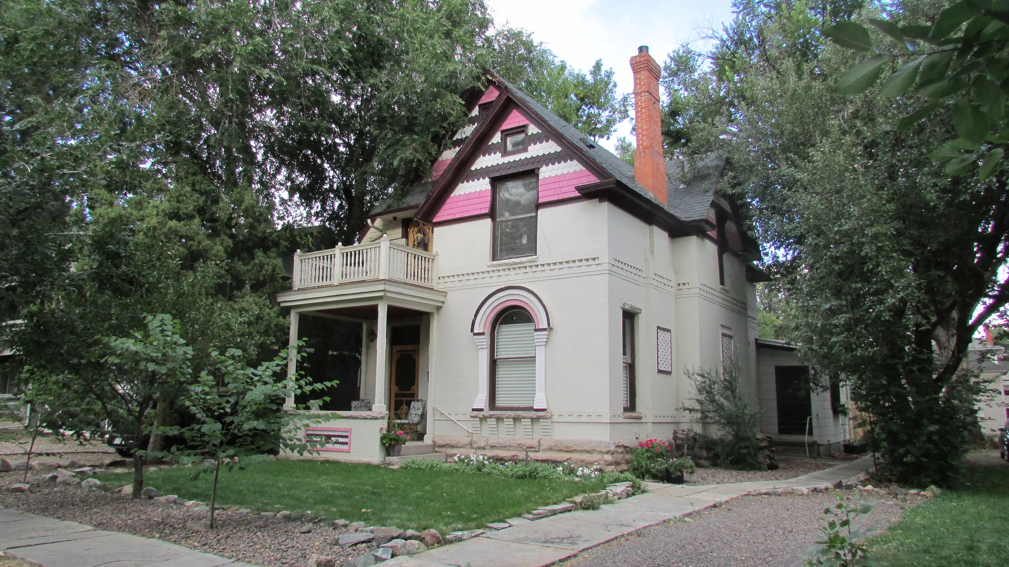
Fort Collins grew outward from a fort site on the Cache la Poudre River, first along the river, then square to the compass, then south toward the college and beyond. Each stage left a neighborhood with its own feel, and several are now protected as historic districts. This is a walk through some of them, north to south.
How the city draws its lines
The City of Fort Collins recognizes its oldest areas through its Historic Preservation office, which keeps two kinds of districts. City Council designates local landmark districts by ordinance: Old Town (1979), Sheely Drive (2000) and Whitcomb Street (2013). Two districts are on the National Register of Historic Places: Old Town (1978) and Laurel School (1980). The office's online Historic Resources Map shows every district and individual landmark, and the Fort Collins History Connection holds research on individual properties.
For everyday neighborhood life, the City's In Your Neighborhood pages offer a free block party trailer, the Next Level Neighborhoods leadership program and help with neighbor conflicts through Conflict Transformation Works.
Old Town
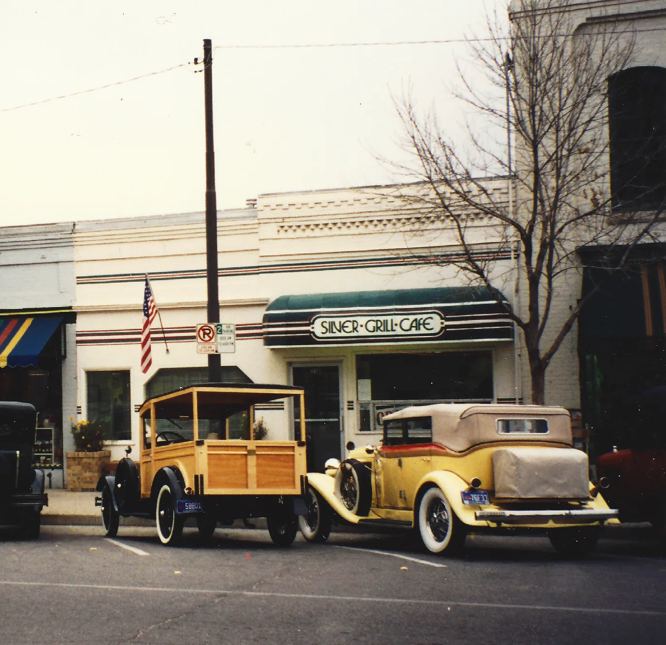
Old Town is where the city keeps its oldest commercial buildings. The National Register district centers on Linden and Walnut Streets and runs northeast past Jefferson Street, taking in early railroad and industrial buildings. The local district includes landmarks such as the Linden Hotel, the Northern Hotel and the Avery Block. The early town was laid out parallel to the river, which is why the oldest blocks sit at an angle to the rest of the grid, according to the Fort Collins History Connection. Old Town Square, a pedestrian plaza ringed by shops and restaurants, is the neighborhood's living room year-round.
The River District
Just north of Old Town, the River District sits along the Poudre, where Colonel William Collins set aside land around Willow Street for the military reservation on August 20, 1864. Today it mixes long-time industrial businesses with galleries, music venues, restaurants and new housing. At Willow and Linden, Andy Dufford's granite columns, In Praise of the Poudre, light up at dusk, and eleven etched pavers by Susan Dailey tell the district's history underfoot. The Poudre River Whitewater Park and the Poudre Trail are a short walk away.
Head east along Lincoln Avenue and you reach Odell Brewing, employee-owned and independent since 1989, which built its brewhouse there in 1994 and runs a taproom with a dog-friendly patio and daily food trucks.
Across the river: Buckingham, Andersonville and Alta Vista
Northeast of the river, on its floodplain, are three neighborhoods built for workers at the sugar factory, which was completed in late 1903 and processed its first beets in January 1904. Buckingham was founded in November 1902 on land owned by banker Charles Buckingham. Andersonville grew from worker housing on Peter Anderson's land in 1903. Alta Vista followed in 1923, when the company sold lots and supplied materials for adobe homes, according to Colorado State University's Public and Environmental History Center. Germans from Russia were recruited first, and Hispanic families became the majority in later decades. Together the neighborhoods are known as the Tres Colonias. Buckingham joined the city in 1906, while Andersonville and Alta Vista were not annexed until 1974.
The Museo de las Tres Colonias, an adobe house museum, tells that story of beet work and community life. Admission is free, and it opens by request for tours and school visits.
Laurel School and the streets near campus
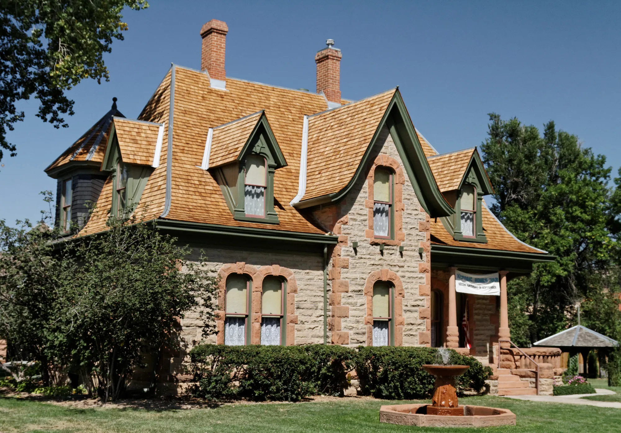
South and east of downtown, the Laurel School Historic District is the largest of the city's two National Register districts: 217 acres of bungalows and late Victorian homes from the 1870s through the 1930s, with 549 contributing buildings, several by builder-architect Montezuma Fuller. It reaches as far as the 1200 block of Remington Street, close to Colorado State University. Many of its homes are also City Landmarks.
On the edge of the campus area, Avogadro's Number on South Mason Street is a restaurant and music room with a large patio, a Tuesday open mic and a calendar of local bands, blues and dance nights.
Two smaller districts are worth a detour. Whitcomb Street protects thirteen homes from the original 1873 plat and the Loomis Addition. Sheely Drive, off West Prospect Road, keeps eleven mid-century Modern homes tied to the business and civic leaders of the mid-1900s.
North College
College Avenue keeps going north across the river from Old Town, and on North College is the Fort Collins Bike Co-op, a community-owned, volunteer-run shop at 1501 North College that sells refurbished bikes and parts, takes donations and runs an open shop where people learn to fix their own.
Midtown
South of campus, Midtown follows College Avenue between Prospect and Harmony roads, the corridor the City studied in its Midtown in Motion plan to make room for walking, biking and transit. The MAX bus rapid transit line runs parallel along the Mason corridor, linking Midtown with CSU and downtown. Recycled Cycles, locally owned since 1978, sits on South Mason, selling new and used bikes and running repairs and rentals a short ride from the MAX line.
No single map captures every corner of Fort Collins, but these places show how the city grew: from the river, to the college, and on south. Pick one, park the car and walk it.
Sources and further reading 14
- City of Fort Collins Historic Preservation: fortcollins.gov/Services/Historic-Preservationchecked November 10, 2026 · Local landmark districts (Old Town 1979, Sheely Drive 2000, Whitcomb Street 2013) and National Register districts (Old Town 1978, Laurel School 1980) with their descriptions; Linden Hotel, Northern Hotel, Avery Block; Historic Resources Map; History Connection for property research.
- City of Fort Collins: fortcollins.gov/Services/Housing/In-Your-Neighborhoodchecked November 10, 2026 · Block Party Trailer, Next Level Neighborhoods, Conflict Transformation Works.
- Fort Collins History Connection: history.fcgov.com/explore/city-historychecked November 10, 2026 · Old Town built parallel to the river and New Town laid out square with the compass.
- Downtown Fort Collins (Downtown Development Authority): downtownfortcollins.com/visit/river-districtchecked November 10, 2026 · River District north of Old Town along the Poudre; August 20, 1864 reservation around Willow Street; industry, galleries, music venues, restaurants and housing; Dufford's In Praise of the Poudre at Willow and Linden; Susan Dailey's eleven pavers; Whitewater Park and Poudre Trail.
- Odell Brewing Co.: odellbrewing.com/locations/fort-collins/checked November 10, 2026 · 800 East Lincoln Avenue brewhouse built 1994; taproom, dog-friendly patio, daily food trucks; independent since 1989 and employee owned.
- Public and Environmental History Center, Colorado State University: pehc.colostate.edu/digital_projects/dp/poudre-river/urban-industrial/neighborhoods/checked November 10, 2026 · Buckingham (November 1902, Charles Buckingham's land), Andersonville (1903, Peter Anderson's land), Alta Vista (1923, lots and adobe materials from the company); sugar factory opened 1903; Germans from Russia first, then Hispanic workers; northeast of the river on its floodplain; Buckingham annexed 1906, Andersonville and Alta Vista 1974.
- Fort Collins History Connection (Fort Collins Museum of Discovery and Poudre Libraries): history.fcgov.com/contexts/sugarchecked November 10, 2026 · Sugar factory construction began November 1902, completed late 1903, first beets processed January 1904.
- Museo de las Tres Colonias: museodelastrescolonias.comchecked November 10, 2026 · Adobe house museum about Hispanic life and the sugar beet industry in Buckingham, Andersonville and Alta Vista; free admission; open by request for tours and school visits.
- Wikipedia (from the National Register nomination): en.wikipedia.org/wiki/Laurel_School_Historic_Districtchecked November 10, 2026 · 217 acres, 549 contributing buildings, Montezuma Fuller works, Bungalow and late Victorian styles, house at 1203 Remington Street. Linked from the City's Historic Preservation page.
- Avogadro's Number: avogadros.comchecked November 10, 2026 · 605 South Mason Street; restaurant with live music and events, open mic every Tuesday, patio, blues and dance nights.
- Fort Collins Bike Co-op: fcbikecoop.orgchecked November 10, 2026 · 1501 N. College Ave; community owned, volunteer run; refurbished bikes, parts, donations and open shop.
- City of Fort Collins Planning: fcgov.com/planning/midtowninmotion.phpchecked November 10, 2026 · Midtown in Motion study of College Avenue between Prospect and Harmony roads, with MAX station connections, adopted in 2014.
- Transfort (City of Fort Collins): ridetransfort.com/maxchecked November 10, 2026 · MAX along the Mason corridor linking Midtown, CSU and Downtown.
- Recycled Cycles Bicycles & Fitness: recycled-cycles.comchecked November 10, 2026 · 4031 South Mason; locally owned since 1978; new and used bikes, repairs and rentals.