Parks, trails and outdoor places in Fort Collins
More than 45 miles of paved trail along the Poudre and its creeks, more than fifty natural areas paid for by voters, and Horsetooth Rock at the west edge of town: a guide to getting outside in Fort Collins, in every season.
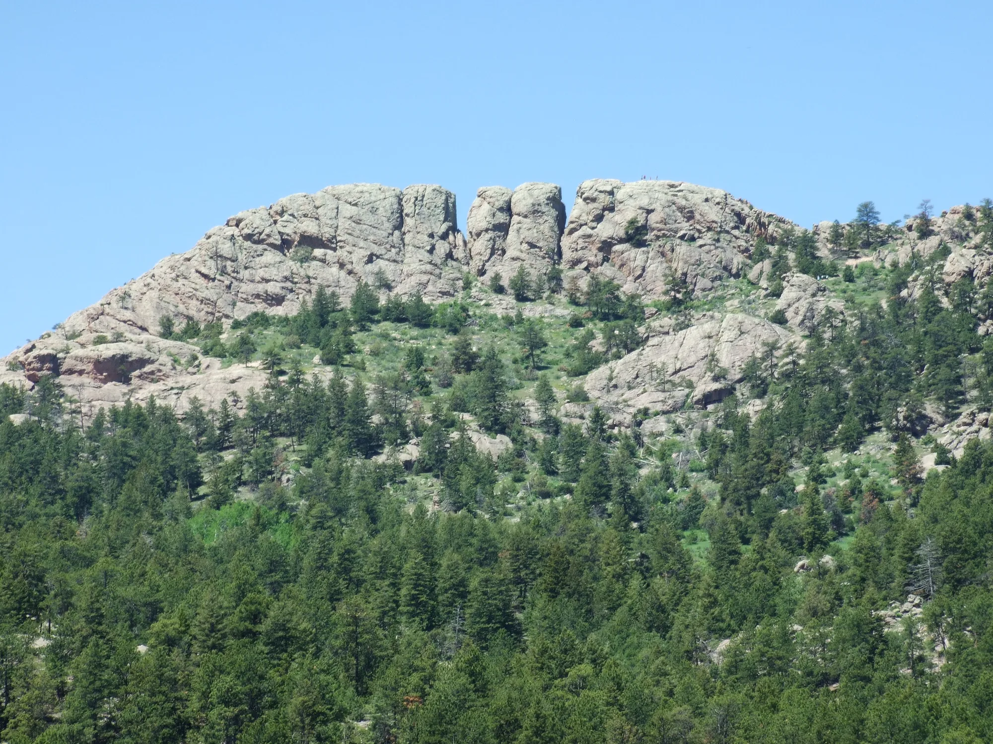
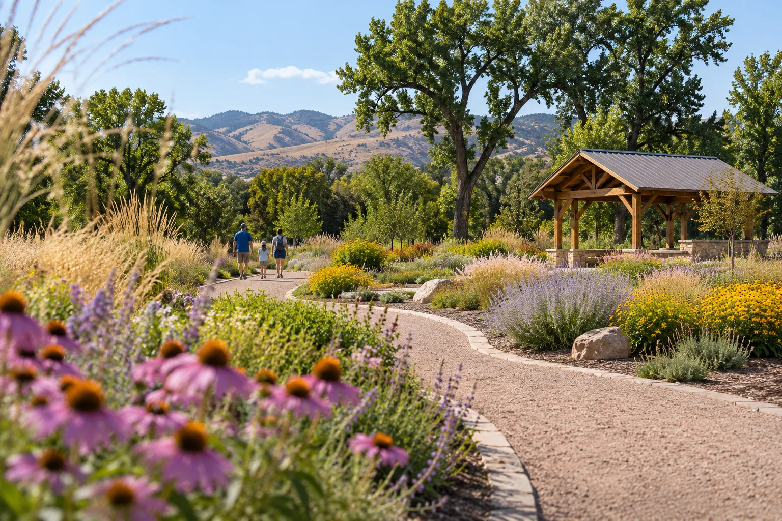
Getting outside in Fort Collins rarely means getting in the car for long. The city counts more than 50 parks, more than 50 conserved natural areas, more than 45 miles of paved trail that follows the river and the creeks across town, and more than 114 miles of unpaved trail. To the west, the foothills rise right at the edge of the city. Here is how the pieces fit together, and how to enjoy them safely as the seasons turn.
The paved trails: the river and the creeks
The backbone of the system is the paved trails, which double as commuting routes and everyday walking loops. The longest is the Poudre Trail, which runs 12.3 miles along the Cache la Poudre River from North Overland Trail to East Drake Road; it reaches Colorado State University's Environmental Learning Center and has been extended from Bellvue to Timnath. The Spring Creek Trail runs 6.6 miles west to east, from Spring Canyon Community Park to the Poudre, and the Fossil Creek Trail covers 8.5 miles from Spring Canyon southeast to Fossil Creek Community Park, where it meets the Front Range Trail toward Loveland. The Mason, Power and Long View trails fill in the north-south grid, the last of them running beside Shields Street to Loveland.
The city publishes simple rules for sharing them. Trails keep park hours, 5 a.m. to 11 p.m. Cyclists have a 15 mph courtesy limit, keep right, pass on the left with an audible signal and yield to people on foot. Class 1 and 2 e-bikes are allowed on paved trails but not on natural-surface trails, bikes need lights or reflectors after dark, and dogs belong on a short leash.
The network is still growing. The city's trail projects list shows the Harmony underpass and Power Trail extension under construction, an Old Town North trail extension in design, and a new connection from Venus Drive to the Fossil Creek Trail complete.
Parks for every neighborhood
The big community parks anchor each end of town. Spring Canyon Community Park in the southwest is where the Spring Creek and Fossil Creek trails begin, and Fossil Creek Community Park sits at the other end of the Fossil Creek Trail in the southeast. Closer to the center, City Park wraps around Sheldon Lake, a popular fishing spot, with a playground, picnic shelters, ball fields and four lighted pickleball courts that are free for drop-in play. Just north of Old Town, the River District has the Poudre River Whitewater Park beside the Poudre Trail.
Natural areas, paid for by voters
Fort Collins's natural areas are a civic project. Voters approved a quarter-cent city sales tax for them in 1992, Larimer County and city open space measures followed, and in 2025 voters extended the city's quarter-cent Natural Areas tax with no expiration date. Today the city manages more than 50 conserved natural areas and more than 100 miles of trail. Entry is free everywhere except Gateway Natural Area, and natural areas are open daily, either from 5 a.m. to 11 p.m. or from dawn to dusk depending on the site.
The busiest hours across the system are weekends from 9 a.m. to 5 p.m., so early mornings, evenings and weekdays are the best bet for a parking space.
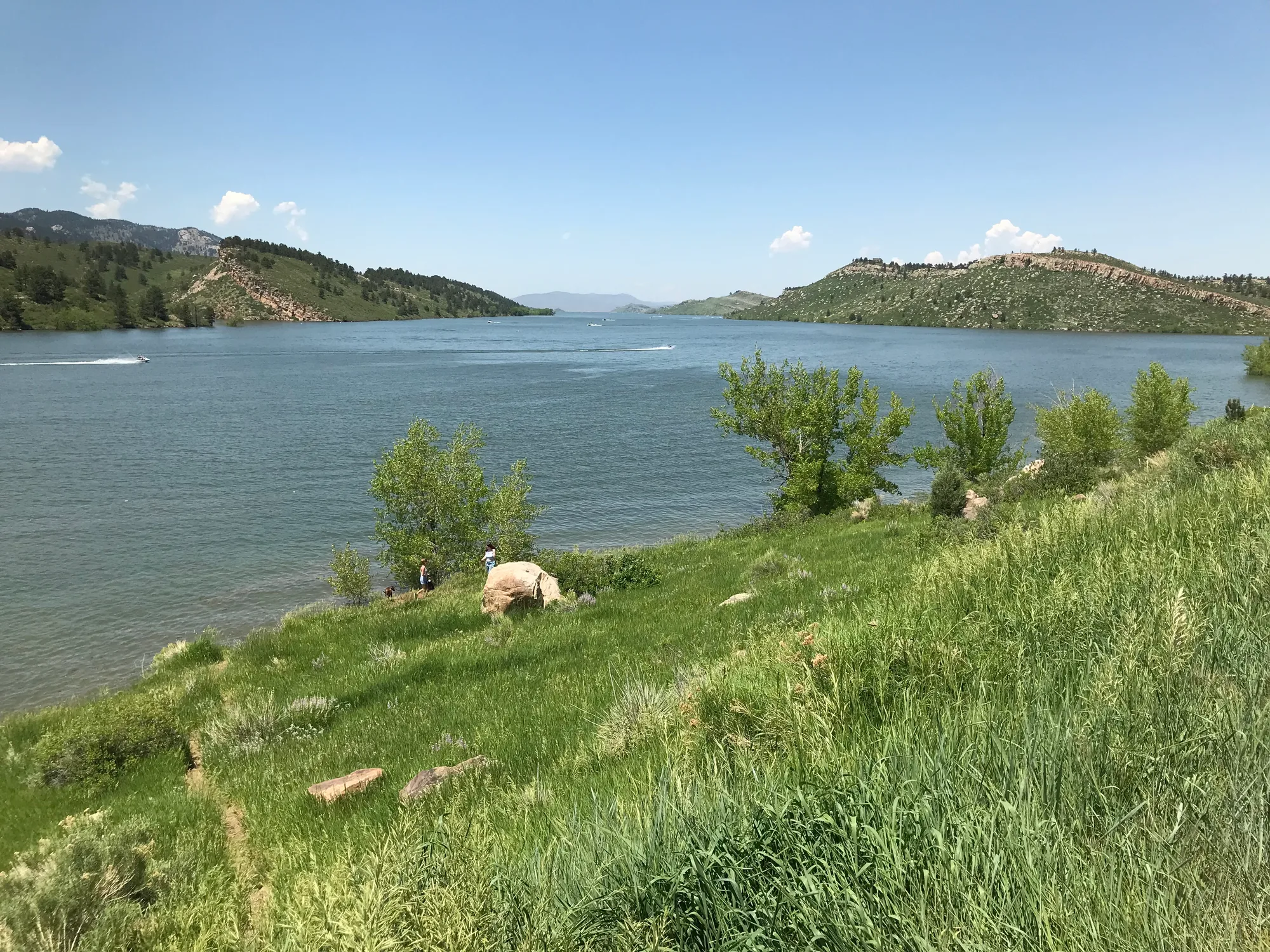
At the western edge of town, Larimer County's Horsetooth Mountain Open Space sits west of Horsetooth Reservoir, about four miles from Fort Collins. It covers 2,711 acres, climbs from 5,430 to 7,255 feet and has 29 miles of trail for hiking, biking and riding, including the routes to Horsetooth Rock, the landmark you can see from the plains, and Horsetooth Falls, which runs best in spring. The county requires an entrance permit, dogs must be leashed, and e-bikes are not allowed on its natural-surface trails.
Staying safe, season by season
- Spring mud: When trails are wet and especially vulnerable, the city closes affected natural areas with gates and signs. If a trail is open but muddy, go through the mud rather than around it, which widens the trail. Rangers check closed trails daily and reopen them as soon as conditions allow.
- Summer heat and crowds: Carry more water than you think you need. At Horsetooth, the county advises arriving before 9 a.m. or after 3 p.m. in summer, when the lot fills, and it posts heat safety alerts. Check the county's fire restrictions before you go.
- High water: Along the river and creeks, watch for high water and use caution in underpasses that can flood.
- Winter ice: Rain, snow and ice can make paved trails slick, and many natural-surface trails stay open year-round on uneven, natural terrain.
Maps and conditions
For maps and closures, the city points to COTREX, the Colorado trail app at trails.colorado.gov, which city staff help update. Natural areas also have parking lot cameras linked from the city's trails pages, and the city's bike map shows how trails and bike lanes connect.
If the river is calling, St. Peter's Fly Shop, a locally owned fly shop on Remington Street in Old Town since 1992 with a second store on East Harmony Road, sells gear, runs fly-tying and casting classes, and guides trips on the Cache la Poudre.
Pick a trail, check COTREX, and go: in Fort Collins, the outdoors starts at the end of the block.
Sources and further reading 12
- City of Fort Collins: fortcollins.gov/Parks-and-Natural-Areas-Directorychecked November 10, 2026 · More than 50 parks.
- City of Fort Collins: fortcollins.gov/Activities/Parks-Natural-Areas-and-Trailschecked November 10, 2026 · More than 45 miles of paved trails throughout the community; more than 50 conserved natural areas.
- City of Fort Collins: fortcollins.gov/Activities/Parks-Natural-Areas-and-Trails/Trailschecked November 10, 2026 · Over 114 miles of unpaved trail; paved trails follow creeks and roads; bike map; COTREX (trails.colorado.gov) for maps and closures, run by state DNR/CPW with city staff updates.
- City of Fort Collins: fortcollins.gov/Activities/Parks-Natural-Areas-and-Trails/Trails/Paved-Trailschecked November 10, 2026 · Lengths and endpoints of the Poudre, Spring Creek, Fossil Creek, Power, Mason and Long View trails; Poudre Trail to CSU's Environmental Learning Center, Bellvue to Timnath; Front Range Trail link; trail rules (hours, 15 mph, keep right, yield, e-bikes, lights, leash); high water, flooded underpasses, slick ice; 2026 project statuses.
- City of Fort Collins: fortcollins.gov/Parks-and-Natural-Areas-Directory/Parks/City-Parkchecked November 10, 2026 · City Park includes Sheldon Lake, a popular fishing spot; playground, shelter, ball fields, four lighted pickleball courts free for drop-in play; parks open daily 5 a.m.–11 p.m.
- Downtown Fort Collins (Downtown Development Authority): downtownfortcollins.com/visit/river-districtchecked November 10, 2026 · River District just north of Old Town along the Poudre; Poudre River Whitewater Park and the Poudre Trail.
- City of Fort Collins: fortcollins.gov/Activities/Parks-Natural-Areas-and-Trails/Natural-Areaschecked November 10, 2026 · More than 50 conserved natural areas and more than 100 miles of trail; 1992 quarter-cent city sales tax, later county and city open space measures, 2025 extension of the quarter-cent tax with no expiration; free except Gateway Natural Area; open 5 a.m.-11 p.m. or dawn to dusk; busiest weekends 9-5.
- City of Fort Collins Natural Areas: fcgov.com/naturalareas/trail-maintenance-explainedchecked November 10, 2026 · Natural areas close entry points with gates and signs when trails are especially vulnerable; where open and muddy, go through the mud rather than around.
- City of Fort Collins: fortcollins.gov/Activities/Parks-Natural-Areas-and-Trails/Trails/Natural-Surface-Trailschecked November 10, 2026 · Rangers check closed trails daily and reopen them when conditions allow; many trails open year-round, uneven natural terrain; parking lot cameras.
- Larimer County: larimer.gov/naturalresources/parks/horsetooth-mountainchecked November 10, 2026 · West of Horsetooth Reservoir, about 4 miles from Fort Collins; 2,711 acres, 5,430–7,255 ft; 29 miles of trail; Horsetooth Rock visible from the plains; Horsetooth Falls flows in spring; entrance permits required; dogs leashed; e-bikes not allowed on natural-surface trails; carry water; heat safety alerts; arrive before 9 a.m. or after 3 p.m. in summer; fire restrictions in effect.
- St. Peter's Fly Shop: stpetes.com/pages/contact-uschecked November 10, 2026 · Old Town store at 202 Remington Street and South store at 2008 E. Harmony Road; phones and hours.
- St. Peter's Fly Shop: stpetes.comchecked November 10, 2026 · Locally owned and operated since 1992; fly fishing gear; guided trips on the Cache la Poudre and other waters; beginner, fly tying and casting classes; November 2026 events.