Pittsburgh, one neighborhood at a time
Ninety neighborhoods, each with its own main street and its own story. A walk through seven of them, from the Point to the Slopes.
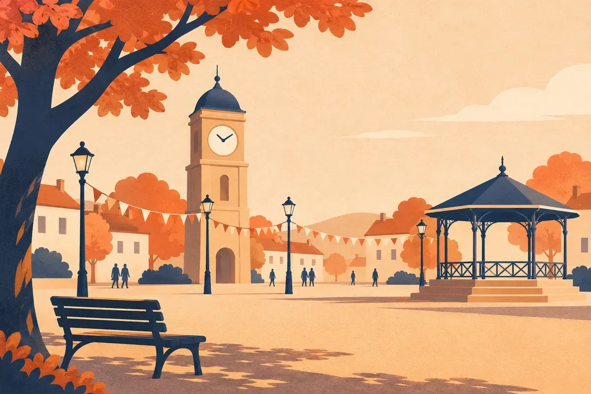
Ask a Pittsburgher where they live and you will rarely hear the name of the city. You will hear Bloomfield, or the Slopes, or the Mexican War Streets. The neighborhood is the unit of life here, and learning a few of them is the fastest way to understand the whole.
How the city draws its lines
The City of Pittsburgh counts 90 neighborhoods across about 58 square miles. The boundaries are younger than they look. Early settlements followed rivers and hills, then railroad tracks and the ethnic parishes that grew around the mills. In the 1970s the city's new neighborhood planning division worked with residents, who set boundaries at community meetings, while a coalition of neighborhood groups documented each area's history in a neighborhood atlas. The 1980 census showed 88 neighborhoods; the North Shore and South Shore were added in the early 1990s. Inside many of them sit smaller places with their own names, such as Panther Hollow in Oakland or Observatory Hill on the North Side.
Downtown and the Point
The Golden Triangle is where the Allegheny and Monongahela meet to form the Ohio, and Point State Park holds its tip, with granite outlines in the lawn tracing Fort Duquesne and Fort Pitt. Downtown's newest landmark is Arts Landing, a four-acre park the Pittsburgh Cultural Trust opened in April 2026 on the Eighth Street block in the Cultural District, with a great lawn, a bandshell and the neighborhood's first dedicated playground. For a lunch-hour appointment, Izzazu Salon on Fifth Avenue offers cuts, color, nails and facials.
The Strip District
The Strip is a narrow band of land along the Allegheny at the foot of the Hill District, roughly between 11th and 33rd streets. It was laid out as Bayardstown in 1814 and joined the city in 1837. Mills and foundries came first; after rail lines left Liberty Avenue Downtown in 1906, produce dealers moved here, and the corner of 21st and Smallman became the center of the city's wholesale trade. Many dealers later opened retail shops along Penn Avenue and Smallman Street, and the Heinz History Center arrived in 1996. Today more people live here than ever: Strip District Neighbors reported 425 percent population growth since 2010. On Penn Avenue, DiAnoia's Eatery is a family-owned Italian restaurant making its own pasta, bread and pastries, open for breakfast, lunch and dinner.
Lawrenceville and Bloomfield
Up the Allegheny, Lawrenceville has deep roots: Lenape people built Shannopin's Town here after arriving in 1724. The neighborhood splits into Lower, Central and Upper sections, with Allegheny Cemetery in Central Lawrenceville, and the Lawrenceville Corporation works on its growth and keeps a guide to its businesses. On Butler Street, Wildcard has sold cards, art prints and Pittsburgh-themed gifts since 2009. Next door, Bloomfield is known as Pittsburgh's Little Italy, with long-running family shops and restaurants along Liberty Avenue. The Bloomfield Development Corporation's calendar carries Little Italy Days each August, and it has been sharing updates on the 2026-27 Liberty Avenue construction.
Shadyside and Squirrel Hill
Shadyside is a neighborhood of parks, local stores and coffee shops, and the Shadyside Chamber of Commerce keeps its office on Walnut Street. Farther east, Squirrel Hill sits between Schenley and Frick parks. Its Sunday farmers market, run by the city's CitiParks, fills the Beacon and Bartlett lot until December 20 this year. Up a flight of stairs on Murray Avenue, Jerry's Records has bought, sold and traded records, CDs and cassettes for more than fifty years.
The South Side, Flats and Slopes
Across the Monongahela, the South Side comes in two parts. The Flats along East Carson Street hold bars, shops and restaurants, and the street is one of the city's designated historic districts. Above them, the Slopes are residential and steep, with 68 public stairways, and the South Side Slopes Neighborhood Association holds its StepTrek walk each October.
The North Side and the Mexican War Streets
North of the Allegheny, the Central Northside's Mexican War Streets have been cared for by the Mexican War Streets Society since 1969; the area is a federally designated historic district, partly designated by the city as well. The society runs a house and garden tour and a neighborhood yard sale, and on Buena Vista Street, Commonplace Coffee keeps a café with garden seating. Nearby, Allegheny Center holds the Children's Museum and the National Aviary, and Union Fitness, the local gym at Nova Place, offers memberships, classes and personal training.
Historic districts and where to learn more
Pittsburgh's historic districts are created by city ordinance. Neighbors or civic groups prepare a nomination, the Historic Review Commission and Planning Commission review it, and City Council decides after public hearings. Once designated, a district's exterior changes visible from the street go before the commission. Districts designated over the years include Allegheny West, Deutschtown, Manchester, the Mexican War Streets, East Carson Street, Market Square and Schenley Farms. The city's Historic Preservation Program publishes the current list, and the Department of City Planning's neighborhood pages are a good start for any area. For day-to-day news, the neighborhood groups named here are the best first call.
Pick one neighborhood you have never walked, park the car and spend an afternoon. The city makes more sense one block at a time.
Sources and further reading 23
- City of Pittsburgh, Department of City Planning: pittsburghpa.gov/Business-Development/Planning/Neighborhood-Planning/Comprehensive-Planning-ProcessPublished January 28, 2026 · checked November 9, 2026 · 90 neighborhoods within 58 square miles; three rivers meet at the point.
- 90.5 WESA: wesanews.org/post/why-does-pittsburgh-have-90-neighborhoodsPublished February 28, 2018 · checked November 9, 2026 · Neighborhoods first followed rivers and hills, then railroad tracks and ethnic groups; 1970s Neighborhood Planning Division; residents set boundaries at community meetings; Pittsburgh Neighborhood Alliance's Neighborhood Atlas; 88 in 1980, North Shore and South Shore added early 1990s; sub-neighborhoods such as Panther Hollow and Observatory Hill.
- Pennsylvania Department of Conservation and Natural Resources: pa.gov/agencies/dcnr/recreation/where-to-go/state-parks/find-a-park/point-state-park/sightseeing.htmlchecked November 9, 2026 · Granite traceries mark Fort Duquesne and the Fort Pitt bastions in Point State Park.
- Colcom Foundation: colcomfdn.org/arts-landing-the-new-heart-of-pittsburghs-cultural-district-opens-downtown/Published May 27, 2026 · checked November 9, 2026 · Arts Landing opened April 17, 2026; about four acres on the 8th Street block in the Cultural District; performance lawn, Dollar Bank Stage bandshell, Grable Playground as Downtown's first dedicated children's play area.
- Izzazu Salons: izzazu.com/locations/izzazu-salons---downtown/checked November 9, 2026 · Downtown salon at 301 Fifth Avenue; hair, nails and facials.
- Strip District Neighbors: stripdistrictneighbors.org/historychecked November 9, 2026 · Strip along the Allegheny at the base of the Hill District, roughly 11th to 33rd streets; laid out as Bayardstown in 1814; joined Pittsburgh 1837; mills and foundries; produce dealers moved after 1906; 21st and Smallman center of wholesale trade; retail along Penn and Smallman; Heinz History Center opened 1996.
- Pittsburgh Magazine: pittsburghmagazine.comPublished July 11, 2025 · checked November 9, 2026 · Strip District Neighbors report: population grown 425% since 2010.
- DiAnoia's Eatery: dianoiaseatery.comchecked November 9, 2026 · Family-owned Italian restaurant at 2549 Penn Ave; homemade pasta, house-made pastries and bread; breakfast, lunch and dinner.
- 90.5 WESA: wesanews.org/arts-sports-culture/2024-06-24/native-americans-pittsburgh-region-exhibit-fort-pitt-museumPublished June 24, 2024 · checked November 9, 2026 · Lenape arrived 1724 and built Shannopin's Town in present-day Lawrenceville.
- VisitPITTSBURGH: visitpittsburgh.com/neighborhoods/checked November 9, 2026 · Lawrenceville's Lower, Central (Allegheny Cemetery) and Upper sections; Bloomfield as Pittsburgh's Little Italy with long-running mom-and-pop shops; Shadyside parks, local stores and coffee; Squirrel Hill South between Schenley and Frick parks; South Side Flats bars on East Carson and residential Slopes; Allegheny Center's Children's Museum and National Aviary.
- Lawrenceville Corporation: lvpgh.comchecked November 9, 2026 · Lawrenceville Corporation's role in the neighborhood's growth; guide to local businesses.
- Wildcard: wildcardpgh.comchecked November 9, 2026 · Gift shop at 4209 Butler Street in Lawrenceville since 2009; cards, art prints, candles, books, jewelry, a 'Pittsburgh is Home' collection.
- Bloomfield Development Corporation: bloomfieldpgh.orgchecked November 9, 2026 · Little Italy Days August 13-16; Liberty Avenue business district; 2026-27 Liberty Avenue construction updates.
- Shadyside Chamber of Commerce: thinkshadyside.comchecked November 9, 2026 · Chamber's address is 5428 Walnut Street.
- City of Pittsburgh, CitiParks: pittsburghpa.gov/farmersmarketsPublished September 21, 2026 · checked November 9, 2026 · Squirrel Hill market, Beacon/Bartlett parking lot, Sundays May 10 to December 20, 2026.
- Jerry's Records: jerrysrecords.comchecked November 9, 2026 · 2136 Murray Avenue, 2nd floor, Squirrel Hill; buys, sells and trades records, cassettes, CDs and movies 'for over 50 years'.
- Pittsburgh History & Landmarks Foundation: phlf.org/preservation/historic-plaque-program/local-historic-designations/checked November 9, 2026 · City historic districts include Allegheny West, Deutschtown, East Carson Street, Manchester, Market Square, Mexican War Streets and Schenley Farms; nomination by civic groups or individuals, HRC and Planning Commission review, Council decides after hearings; HRC reviews exterior changes visible from a public street.
- Pittsburgh Post-Gazette, Insider's Guide: newsinteractive.post-gazette.com/pghinsidersguide/places/step-treks/checked November 9, 2026 · South Side Slopes has 68 stairways; StepTrek each October.
- South Side Slopes Neighborhood Association: southsideslopes.org/steptrekchecked November 9, 2026 · StepTrek is the association's annual fundraiser; 2026 edition October 3.
- Mexican War Streets Society: mexicanwarstreets.orgchecked November 9, 2026 · Society founded 1969; Central Northside; federally designated historic district, partially designated by the city; House & Garden Tour and Yard Sale.
- Commonplace Coffee: commonplacecoffee.com/pages/mexican-war-streetschecked November 9, 2026 · Mexican War Streets café at 1501 Buena Vista Street with indoor and garden seating.
- Union Fitness: unionfitness.comchecked November 9, 2026 · 100 South Commons, Suite 180 (Nova Place); memberships, classes, personal training.
- City of Pittsburgh, Department of City Planning: pittsburghpa.gov/Business-Development/City-Planning/Historic-Preservation-ProgramPublished June 5, 2026 · checked November 9, 2026 · Historic Preservation Program page links to the city's search of designated landmarks and districts.