Peoria, one neighborhood at a time
From Old Town's 1918 storefronts and the postwar Varney Tracts to lake communities and Vistancia in the foothills, a south-to-north guide to how Peoria's neighborhoods fit together.
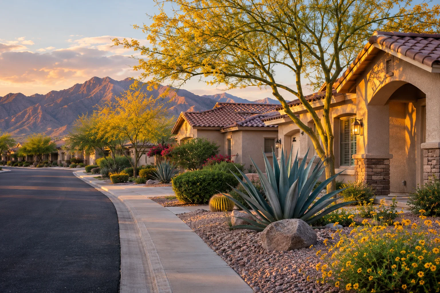
Ask Visit Peoria where to live and it will tell you, honestly, that the city does not publish a neighborhood guide. Peoria's official map divides it into six council districts, redrawn after each census so each holds about the same number of people, but those lines exist for voting rather than for character. The neighborhoods people actually talk about are something else: an old farm-town core, a few postwar tracts, entertainment districts along the freeways, lake and golf communities, and big master-planned communities in the northern foothills. Here is how they fit together, south to north.
Old Town, where Peoria began
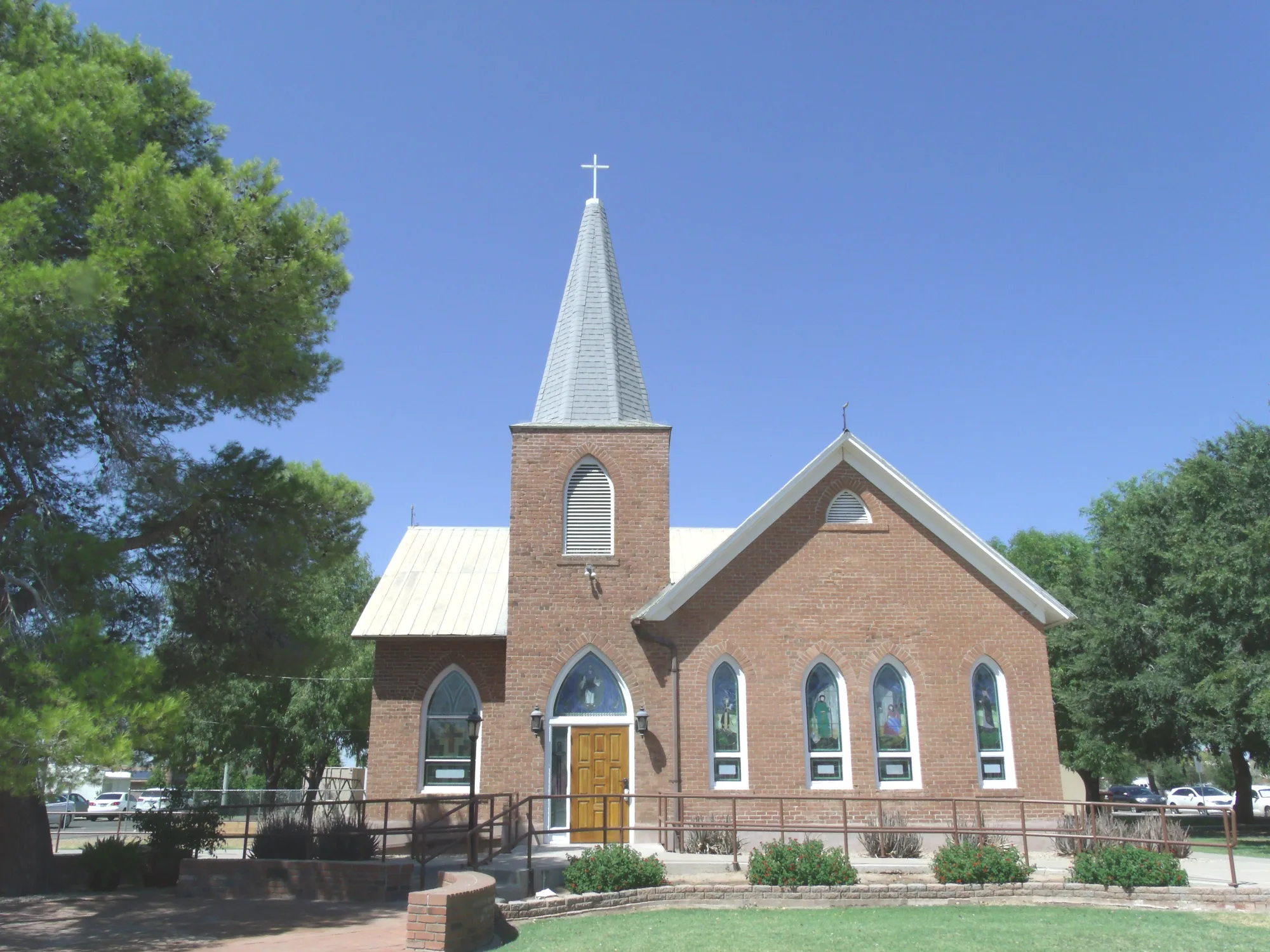
The city grew from a single square mile around Grand Avenue and Washington Street, and that core is still the place to understand Peoria. The city publishes two self-guided walking tours here, one along 83rd Avenue and Madison Street and one through the Old Town commercial blocks, where storefronts rebuilt after the 1917 fire still stand. Two buildings are on the National Register of Historic Places: the 1906 Central School, now being restored as an arts and cultural center, and the 1899 First Presbyterian Church, which the city describes as the oldest continuously used church in Arizona.
Osuna Park, the city's oldest park, anchors the district, and in April 2026 it gained a 35-foot digital water tower marking the gateway to downtown. From October through April, the 2nd Saturdays festival fills these blocks with local art, music and makers. For a meal nearby, Don Lencho's on Peoria Avenue has been a family-owned Mexican kitchen since 1999, serving fresh-made traditional dishes and seafood to Old Town regulars.
Varney and Weedville, the first steps beyond town
Just east of Old Town, the Varney Tracts show how Peoria first grew. William and Lena Varney, a farming couple, subdivided their land in the 1940s, and a city-commissioned history describes the tracts, roughly between 79th and 81st avenues north of Varney Street, as the first subdivisions created after World War II and the most successful up to that point. Visit Peoria lists Varney with Old Town as the city's historic neighborhoods, with homes going back to the 1940s.
Farther southeast, near the Glendale line, sits a pocket locals call Weedville, roughly bounded by Acoma Drive, Thunderbird Road, 71st Avenue and 75th Avenue. It takes its name from Ora Rush Weed, who brought members of his Old Paths congregation from the Midwest and started a Bible school there in 1912. A 2012 report for the city found that many of its agricultural lots still kept a rural look and feel, and that only about 40 percent of the area is inside Peoria, the rest being a county island. Neither area is a designated historic district; the city commissioned both studies under its Historic Preservation Master Plan to guide any future National Register nominations. Along Thunderbird Road just east of the area, Sala Nails & Spa offers manicures and spa pedicures for the surrounding neighborhoods.
P83, Park West and the lake communities
Peoria's middle is where the city goes out. The P83 Entertainment District runs along 83rd Avenue from Bell Road to the Skunk Creek wash, with the Peoria Sports Complex, the Arizona Broadway Theatre and the Skunk Creek Trailhead. Park West, on Northern Avenue by the Loop 101, is the city's dressier shopping and dining center.
Around them spread some of Peoria's largest homeowners association neighborhoods, which Visit Peoria lists as including Fletcher Heights, Dove Valley Ranch, Camino A Lago, Parkridge and The Meadows. On North 83rd Avenue, Fletcher's Sports Grill is the kind of family-owned neighborhood sports bar where people from the surrounding subdivisions meet to watch a game on the covered patio.
The city also has several age-restricted communities, among them Westbrook Village and Ventana Lakes, built around golf and water. Charley's at The Lakes sits inside the Westbrook Village Country Club complex and is open to everyone, serving American favorites with views over the course and lake. Its operators live in Westbrook Village and support local schools and community groups.
The north: Happy Valley, Lake Pleasant and Vistancia
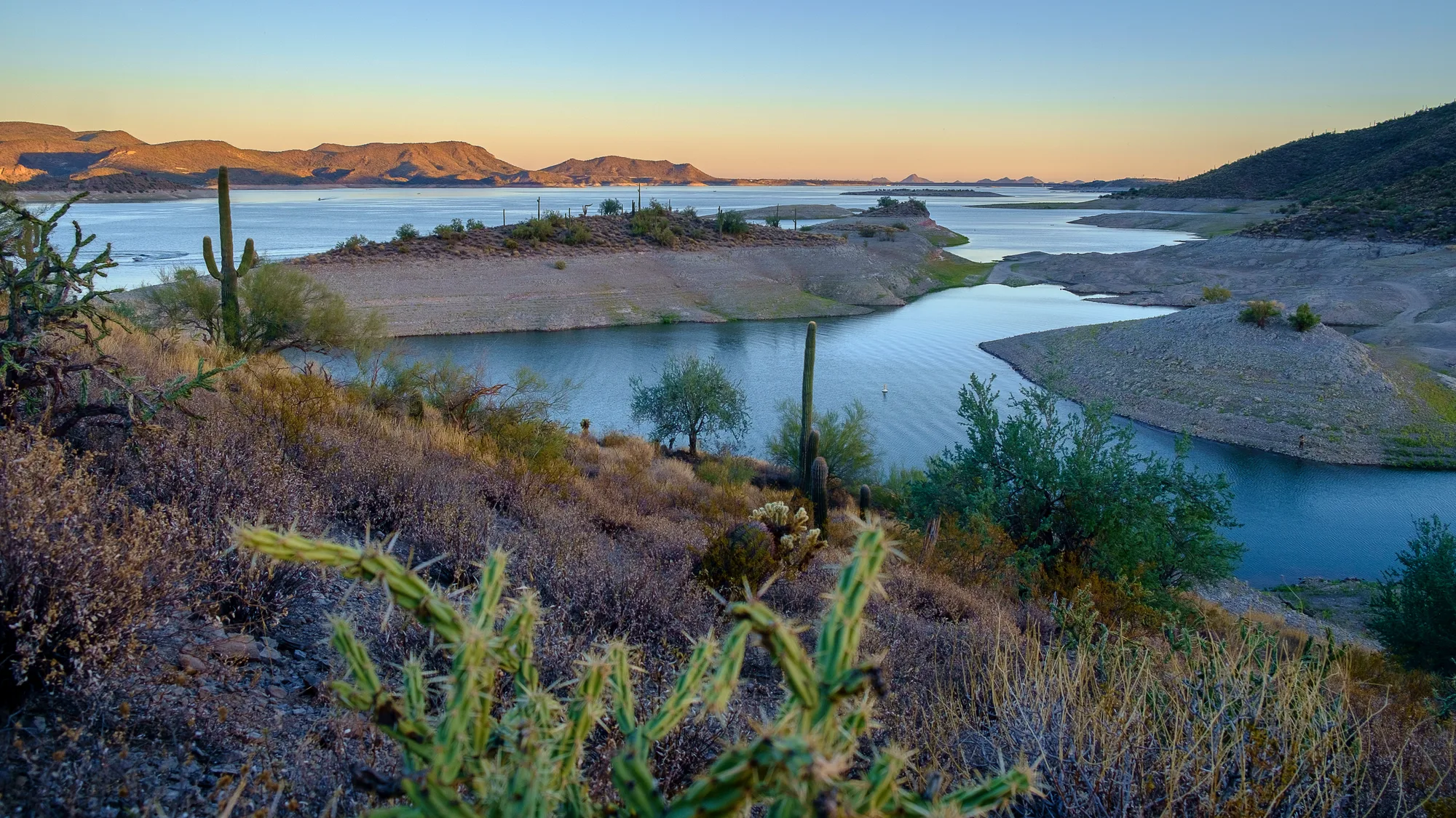
North of the Loop 101, the city opens up toward the mountains. Lake Pleasant Parkway and Happy Valley Road meet at a crossroads of four shopping centers that serves as the area's everyday hub. Along Happy Valley Road, The Blvd Salon offers cuts, color and balayage, and Woodruff Family Dental, which describes itself as a North Peoria practice, sees families on Happy Valley Parkway. Paloma Community Park, the city's third community park, opened in 2020 at Lake Pleasant Parkway and Dixileta Drive.
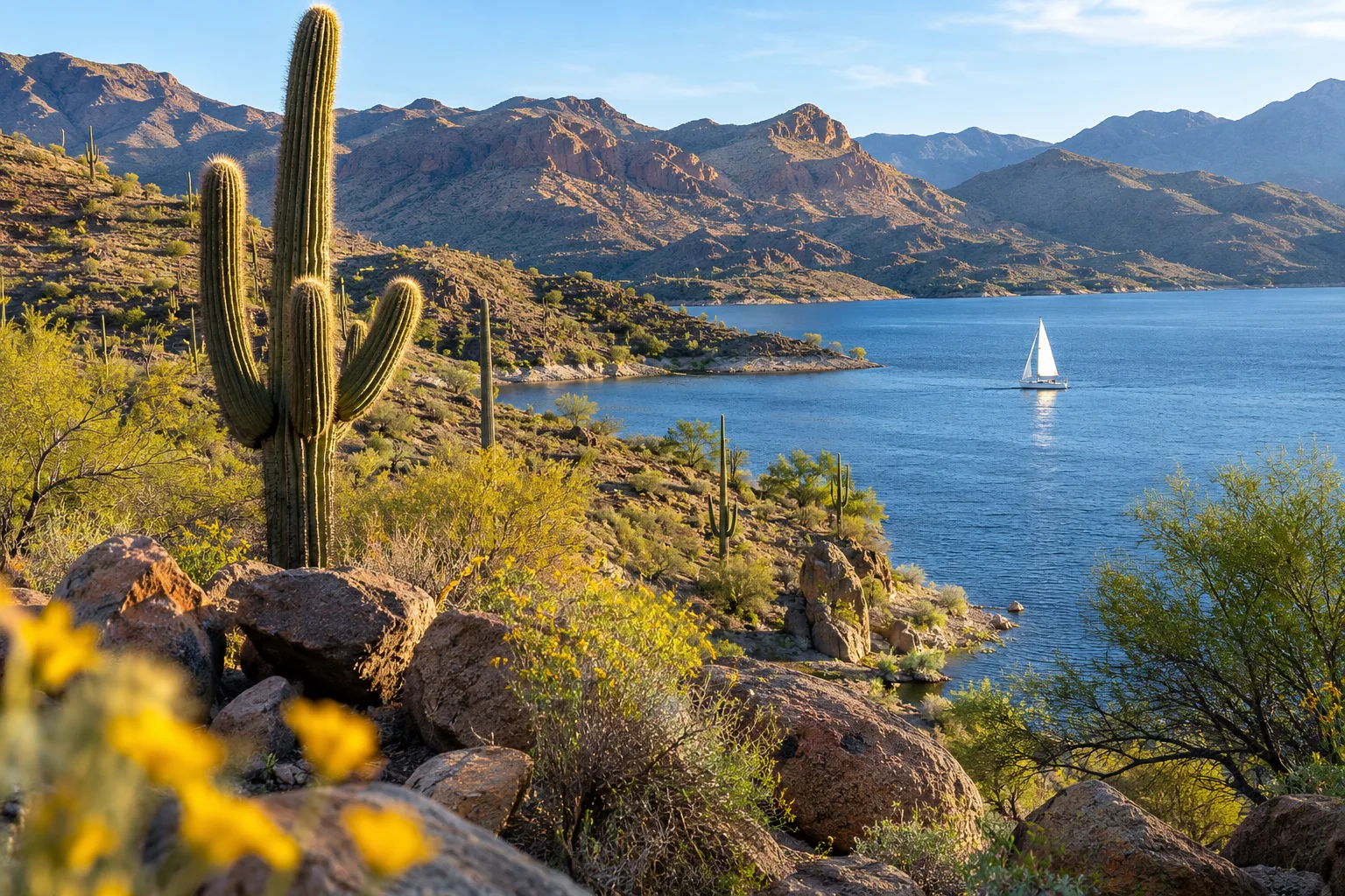
Beyond that lies Vistancia, which its developer describes as a 7,100-acre master-planned community in the desert foothills, more than 20 years old, with recreation centers, schools, golf and the Discovery Trail. Its communities include The Village at Vistancia for families, the gated Blackstone golf community and Trilogy at Vistancia for active adults, with views of White Peak and Twin Buttes. Vistancia sits near the Loop 303 and the growing Peoria Innovation Core, and Lake Pleasant Regional Park is a short drive north.
Finding your neighborhood's people
Start with the city's interactive council district map, which shows your district and councilmember and whether an address sits in an unincorporated county island. The city's interactive HOA map tells you whether a home is in an association, and its Community Assistance division runs HOA Academy each year for board members and homeowners. For older neighborhoods without an HOA, Neighborhood Pride, a volunteer revitalization program the City Council adopted in 1996, brings neighbors together on cleanup and improvement projects. And for history, the Historic Preservation Commission's pages hold the walking tours and the Varney and Weedville studies.
Sources and further reading 24
- Visit Peoria (City of Peoria): visitpeoriaaz.com/plan-your-visit/neighborhood-infochecked November 7, 2026 · City does not publish a neighborhood guide; interactive HOA map; HOA Academy; county islands; largest HOA neighborhoods (Dove Valley Ranch, Fletcher Heights, Camino A Lago, Parkridge, The Meadows, Vistancia); retirement communities including Westbrook Village and Ventana Lakes; Vistancia's three communities and views of White Peak and Twin Buttes; Old Town and Varney as historic neighborhoods with homes from the 1940s.
- City of Peoria: peoriaaz.gov/government/mayor-and-city-council/council-district-mapchecked November 7, 2026 · Six council districts used for voting, boundaries rebalanced by population after each census; interactive map to find your district.
- City of Peoria (General Plan 2040): peoriaaz.gov/home/showpublisheddocument/23952/638792694964530000checked November 7, 2026 · City grew from the original one square mile in Old Town.
- City of Peoria: peoriaaz.gov/government/departments/arts-culture/historic-preservationchecked November 7, 2026 · Self-guided walking tours (83rd Ave. and Madison St.; Old Town Commercial), Varney and Weedville reports, Historic Preservation Master Plan, Historic Preservation Commission.
- City of Peoria (Historic Old Town Peoria Walking Tour): peoriaaz.gov/home/showpublisheddocument/3718/638990663816500000checked November 7, 2026 · Downtown buildings rebuilt after the 1917 fire; First Presbyterian Church reputed oldest church continuously in service in Arizona.
- City of Peoria: peoriaaz.gov/government/departments/arts-culture/historic-preservation/peorias-history/timeline-1900-to-1929checked November 7, 2026 · Central School built 1906, listed on the National Register in 1982.
- City of Peoria: peoriaaz.gov/government/departments/arts-culture/historic-preservation/peorias-history/timeline-1880s-to-1899checked November 7, 2026 · First Presbyterian Church built 1899, oldest continuously used church in Arizona per the city, added to the National Register in 2012.
- City of Peoria: peoriaaz.gov/government/departments/arts-culture/artschecked November 7, 2026 · Restoration of the Central School as an arts center under way in 2026.
- Visit Peoria (City of Peoria): visitpeoriaaz.com/things-to-do/downtown-peoriachecked November 7, 2026 · Osuna Park as Peoria's oldest city park.
- City of Peoria: peoriaaz.gov/government/departments/arts-culture/historic-preservation/peorias-history/timeline-new-millenniumchecked November 7, 2026 · Digital water tower dedicated April 7, 2026 in Osuna Park; Paloma Community Park opened October 3, 2020; Neighborhood Pride revitalization program adopted by the City Council in August 1996 and carried out by volunteers.
- City of Peoria: peoriaaz.gov/government/departments/arts-culture/special-events/second-saturdayschecked November 7, 2026 · 2nd Saturdays downtown from October through April.
- Don Lencho's: donlenchos.comchecked November 7, 2026 · Established 1999, family owned and operated, traditional fresh-made Mexican food and seafood near Old Town Peoria, 8420 W. Peoria Ave.
- City of Peoria (The Varney Story historic context survey): peoriaaz.gov/home/showpublisheddocument/21016/636940451755270000checked November 7, 2026 · William L. and Lena J. Varney, farmers, subdivided their land in the 1940s; tracts bounded by 79th and 81st avenues, Varney Street and Kirby Street, with a second plat north to Cherry Hills Drive; first subdivisions after WWII and the most successful to that point.
- City of Peoria (Weedville Historical Research Report, Vincent Murray, 2012): peoriaaz.gov/home/showpublisheddocument/3730/638990589745230000Published June 1, 2012 · checked November 7, 2026 · Weedville named for Ora Rush Weed and his Old Paths congregation; Bible school begun after 1912 arrival; bounded by Acoma Drive, Thunderbird Road, 71st and 75th avenues; about 40 percent inside Peoria and the rest a county island; agricultural lots retaining a historic look and feel; report prepared to guide National Register eligibility under the Historic Preservation Master Plan.
- Sala Nails & Spa: salanails.com/ServiceAndPrice/ShowServicechecked November 7, 2026 · Peoria nail salon at 6750 W Thunderbird Rd #105; manicures and spa pedicures.
- Visit Peoria (City of Peoria): visitpeoriaaz.com/things-to-do/shoppingchecked November 7, 2026 · P83 boundaries along 83rd Avenue from Bell Road to Skunk Creek wash; Peoria Sports Complex, Arizona Broadway Theater and Skunk Creek Trailhead in P83; Park West; Four Corners shopping centers at Lake Pleasant Parkway and Happy Valley Road.
- City of Peoria: peoriaaz.gov/residents/about-peoriachecked November 7, 2026 · Park West described as an upscale shopping and dining center.
- Fletcher's Sports Grill: fletchersportsgrill.comchecked November 7, 2026 · Family-owned neighborhood sports bar and grill at 20783 N 83rd Ave with covered patio.
- Charley's at The Lakes: charleysatthelakes.comchecked November 7, 2026 · Inside the Westbrook Village Country Club complex, open to the public, American favorites, course and water views; operators live in Westbrook Village and support Peoria School District drives and local groups.
- The Blvd Salon: theblvdsalon.com/serviceschecked November 7, 2026 · Salon 4 at 9710 W Happy Valley Road; cuts, color and balayage.
- Woodruff Family Dental: woodrufffamilydental.comchecked November 7, 2026 · Family dental practice at 10184 W Happy Valley Pkwy describing itself as serving North Peoria.
- Visit Peoria (City of Peoria): visitpeoriaaz.com/plan-your-visit/blogchecked November 7, 2026 · Paloma Community Park, Peoria's third community park, at Lake Pleasant Parkway and Dixileta Road.
- Vistancia: vistancia.comchecked November 7, 2026 · 7,100-acre master-planned community in the North Peoria foothills, more than 20 years old, recreation centers, schools, golf, Discovery Trail, near Loop 303 and the Peoria Innovation Core, close to Lake Pleasant Regional Park.
- City of Peoria: peoriaaz.gov/government/departments/neighborhood-and-human-serviceschecked November 7, 2026 · Community Assistance division including HOA classes; community engagement programs.