Parks, Trails and Outdoor Places in Scottsdale
The McDowell Sonoran Preserve, a reworked Brown's Ranch trailhead, Pinnacle Peak, the greenbelt and the canal paths, plus the city's own rules for heat, floods and dogs.
November is when Scottsdale moves back outside. The mornings are cool enough for a long walk, the preserve's trailheads fill up again, and the paths along the canals and the greenbelt see runners, cyclists and strollers all day. This fall the city was recognized by the Maricopa Association of Governments for its trail network of roughly 800 miles of biking, walking and equestrian routes, along with its free trolley. Here is a resident's guide to the biggest pieces of that network, the rules the city asks you to follow, and where to find maps before you go.
McDowell Sonoran Preserve
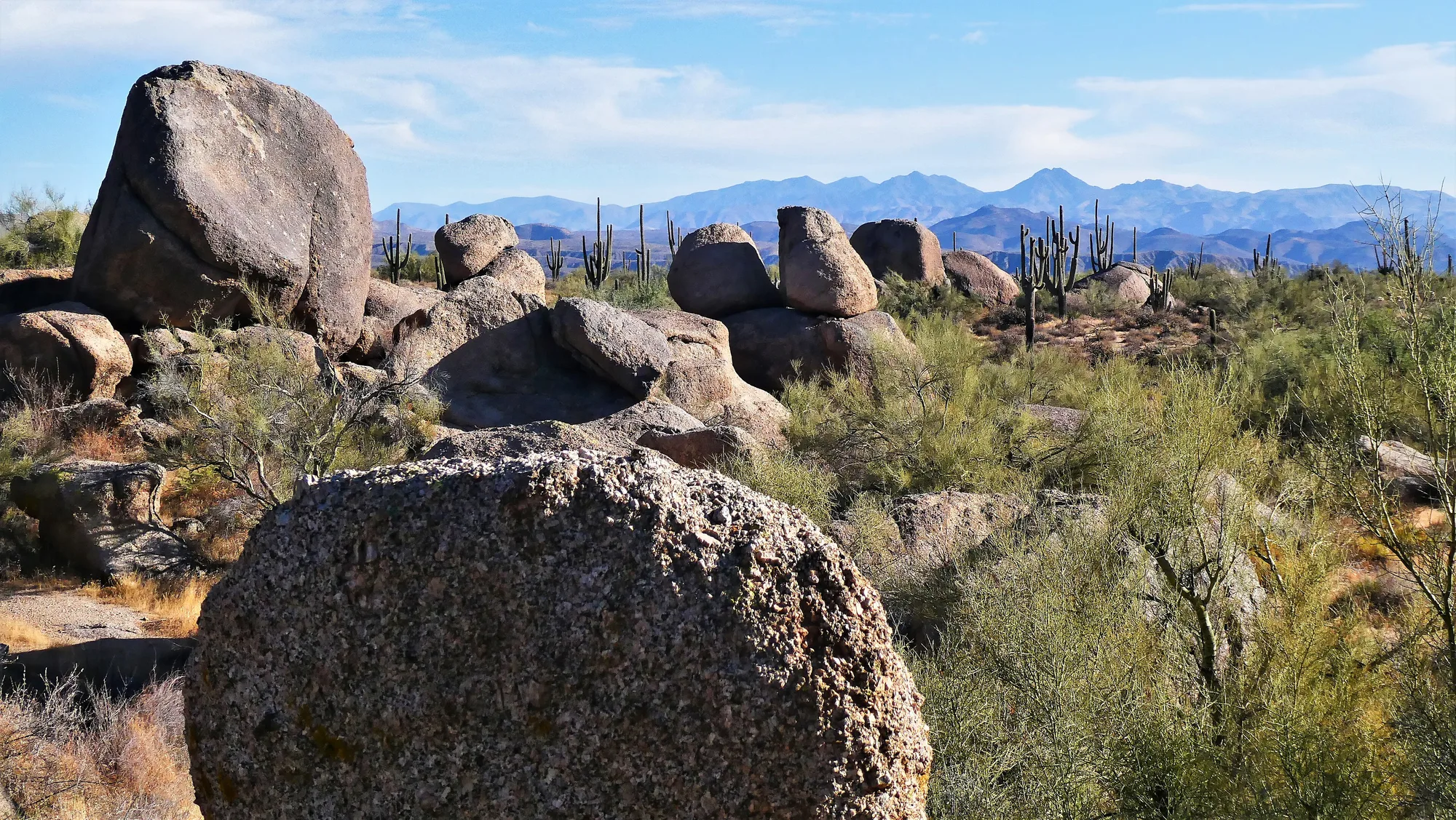
The McDowell Sonoran Preserve covers more than 30,500 acres of desert in north Scottsdale, with more than 230 miles of trails shared by hikers, mountain bikers and horseback riders. It is open every day from sunrise to sunset, and there is no fee to enter. Opening and closing times shift through the year, so check the preserve hours page before planning a dawn start or a sunset walk.
Where you start matters. Gateway, Lost Dog Wash, Pima Dynamite and Brown's Ranch trailheads all have drinking water and restrooms. Tom's Thumb, Granite Mountain and Fraesfield have restrooms but no drinking water, and Quartz and Ringtail are parking only, so carry everything you need from those.
The biggest change this year is at Brown's Ranch. The city closed the trailhead in July for improvements to the parking lot, drainage and buildings, and added a new trail dispersal area with five rerouted trail segments meant to ease crowding and protect sensitive ground. The city lists the trailhead as reopening October 30, with a resurfaced equestrian lot. If you hiked there before the closure, expect some trail junctions near the trailhead to look different.
Guided hikes resumed in October, led by city natural resources staff and by the McDowell Sonoran Conservancy, whose volunteers help steward the preserve. A guided walk is a good way to learn the plants and history if you are new to the desert.
Pinnacle Peak Park
Pinnacle Peak Park in far north Scottsdale is a city park of about 150 acres built around one well-loved trail. It runs two miles one way, with about 1,300 feet of cumulative elevation gain as it rolls up and down around the granite peak. Dogs and bikes are not allowed on this trail; the city points dog owners and cyclists to nearby Brown's Ranch instead. Experienced climbers with their own gear may climb in three designated areas. The park also hosts interpretive hikes, sunset and full moon hikes and astronomy talks during the cooler months.
The greenbelt and the canal paths
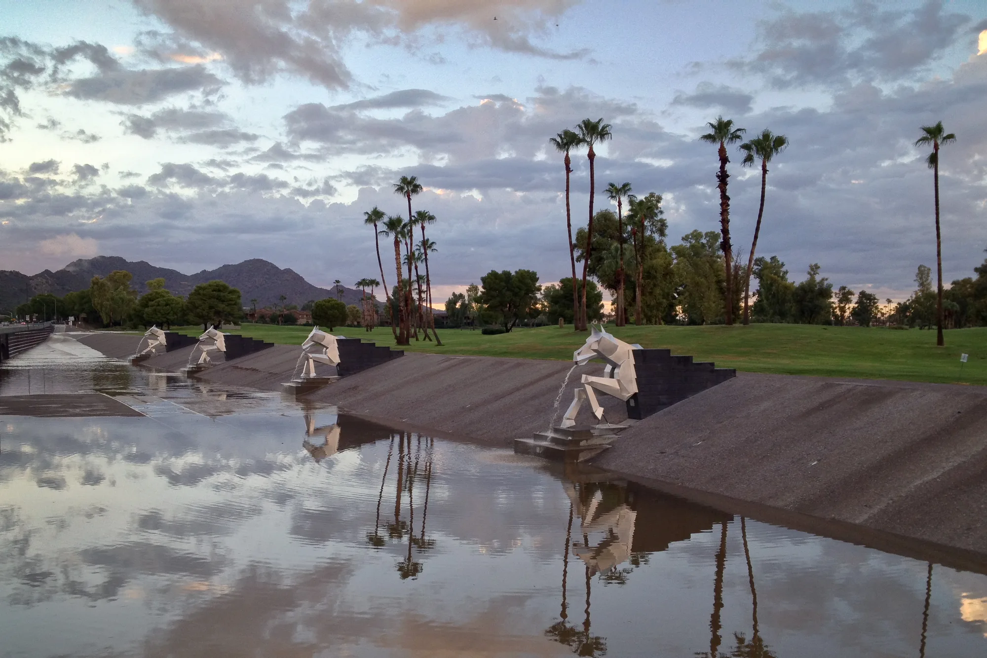
Closer to the center of town, the Indian Bend Wash Greenbelt runs 11 miles through the heart of Scottsdale, linking parks, lakes, paths and golf courses. It began as a flood control project, a way to turn a dangerous wash into open space, and its multiuse path passes more than 24 underpasses and bridges, so you can walk or ride long stretches without crossing major roads. Along it, Chaparral Park is home to the city's Xeriscape Garden, and Eldorado Park has The Wedge skate park.
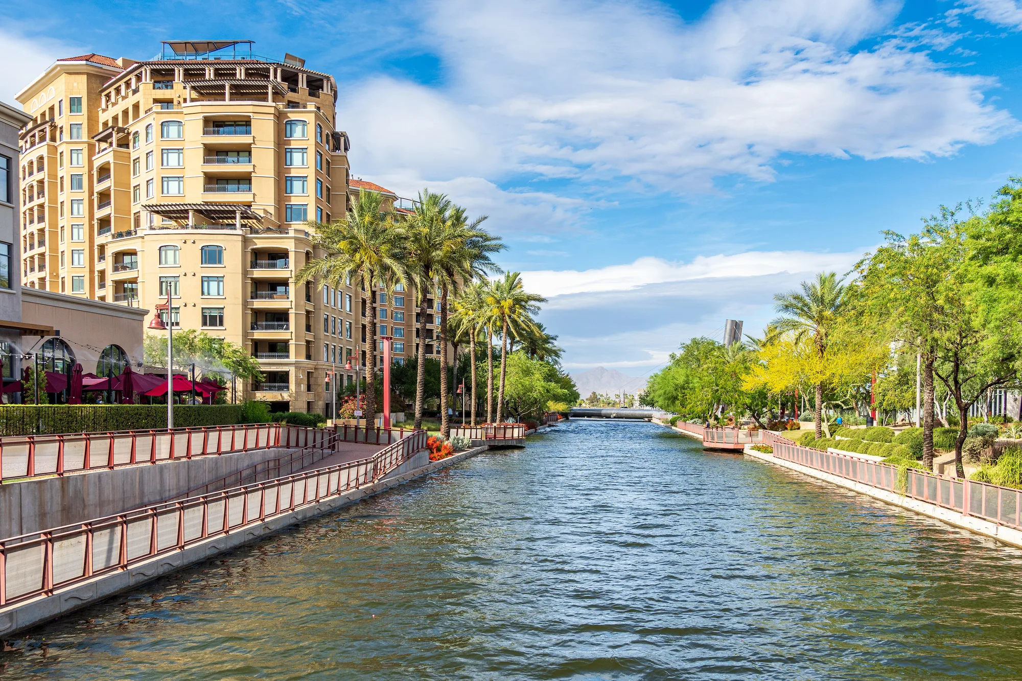
Two canal paths connect Scottsdale to its neighbors. The Arizona Canal path runs along both banks of the canal, nearly 70 miles in all, with Soleri Bridge at the Scottsdale Waterfront as a landmark. The Crosscut Canal trail branches off near Indian School Road and 64th Street and heads 4.5 miles south through Papago Park to Tempe. Beyond those, the city maintains about 160 miles of unpaved neighborhood trails, including routes through Florence Ely Nelson Desert Park, George "Doc" Cavalliere Park and Stonegate Equestrian Park.
If you are heading to the greenbelt early, Renegade Coffee Company at Granite Reef and McDonald, the Arizona family's first shop, has a drive-thru window for an early start. After a morning on a north Scottsdale trail, Butters Pancakes & Cafe on Northsight Boulevard serves breakfast and lunch.
Staying safe in every season
The greenbelt is a flood channel first. After storms at the end of October, the city asked residents to stay out of the Indian Bend Wash Greenbelt for several days while stormwater drained, warning that clear skies and shallow-looking water do not mean an area is safe. Keep children and pets away from moving water, never walk or ride through it, and wait for the city's all-clear before returning after a big rain.
In the preserve, the city's heat guidance applies well beyond summer. Start early, check the hourly forecast, drink water before you go and steadily on the trail, and turn around when half your water is gone. Summer temperatures often pass 100 degrees from May through September. Dogs must be on a handheld leash no longer than six feet, and the city asks that you leave them home if it will be over 90 degrees during your outing. E-bikes, e-scooters and other motorized devices are not allowed on preserve trails, though people with mobility disabilities can apply for an exception. Watch for rattlesnakes, stay on the trail and wear sturdy shoes.
On the paths, horses get the right of way, cyclists yield to everyone else, and the left lane stays open for passing.
Maps and trail conditions
The city publishes free trail maps of the preserve's south and north/central areas online, with printed copies at the trailheads and at the Indian Bend Wash Visitor Center on Hayden Road. For the paths and neighborhood trails, the city offers an online map, a printable version and printed copies on request. Before you head out, check the city's preserve page and its news releases for closures, and follow the McDowell Sonoran Conservancy's events list for guided outings. With a map in hand and water in your pack, you have the rest of the season to explore.
Sources and further reading 12
- City of Scottsdale: scottsdaleaz.gov/news/details/scottsdale-update-nov-2-2026Published November 2, 2026 · checked November 7, 2026 · Livable Communities award from the Maricopa Association of Governments for the roughly 800-mile trail network and free trolley; The Wedge skate park at Eldorado Park; greenbelt stormwater warning.
- City of Scottsdale: scottsdaleaz.gov/preservechecked November 7, 2026 · Preserve size (30,500+ acres), 230+ miles of multi-use trails, open sunrise to sunset free; trailhead amenities; Brown's Ranch reopening Oct. 30 with rerouted trails and resurfaced equestrian lot; dog leash and 90-degree rule; e-bike prohibition and mobility exception; heat guidance; rattlesnakes; trail map PDFs and hard copies at trailheads and Indian Bend Wash Visitor Center; guided hikes resume in October with the McDowell Sonoran Conservancy.
- City of Scottsdale: scottsdaleaz.gov/preserve/preserve-hourschecked November 7, 2026 · Preserve hours vary through the year.
- City of Scottsdale: scottsdaleaz.gov/preserve/browns-ranch-trailhead-improvementschecked November 7, 2026 · Closure from July 13, 2026; parking lot, drainage, lighting and roofing improvements; new trail dispersal area with five rerouted segments to reduce congestion and protect sensitive areas.
- McDowell Sonoran Conservancy: mcdowellsonoran.org/events/listchecked November 7, 2026 · Conservancy's guided hike and events list, linked from the city's preserve page.
- City of Scottsdale: scottsdaleaz.gov/parks/find-a-park/pinnacle-peak-parkPublished August 28, 2026 · checked November 7, 2026 · 150 acres; trail 2 miles one way, 1,300 ft cumulative gain; no dogs or bikes, Brown's Ranch suggested instead; three climbing areas; interpretive, sunset and full moon hikes and astronomy talks.
- City of Scottsdale: scottsdaleaz.gov/parks/greenbeltPublished April 9, 2026 · checked November 7, 2026 · Greenbelt runs 11 miles through Scottsdale with parks, lakes, paths and golf courses; flood control project; more than 24 grade-separated crossings.
- City of Scottsdale: scottsdaleaz.gov/parkschecked November 7, 2026 · Xeriscape Garden located at Chaparral Park; Eldorado Park.
- City of Scottsdale: scottsdaleaz.gov/outdoor-activities/paths-trailsPublished June 25, 2026 · checked November 7, 2026 · Arizona Canal path nearly 70 miles on both banks with Soleri Bridge; Crosscut Canal 4.5 miles from Indian School Rd and 64th St through Papago Park to Tempe; 160 miles of neighborhood trails and named desert parks; path etiquette; online, printable and printed maps.
- Renegade Coffee Company: renegadecoffeeaz.com/our-story/checked November 7, 2026 · First shop at Granite Reef and McDonald with a drive-thru; Arizona family owned; hours (6 a.m. weekdays) on renegadecoffeeaz.com.
- Butters Pancakes & Cafe: butterscafe.comchecked November 7, 2026 · Northsight location at 14795 N. Northsight Blvd.; breakfast and lunch menus; open seven days.
- City of Scottsdale: scottsdaleaz.gov/news/details/stay-out-of-scottsdales-greenbelt-as-stormwater-continues-to-flowPublished November 1, 2026 · checked November 7, 2026 · Stormwater flowing through the greenbelt after Oct. 30-31 storms; stay out for several days; clear skies or shallow water do not mean safe; keep children and pets away; greenbelt is a flood control corridor.