Scottsdale, One Neighborhood at a Time
From Old Town's districts and the midcentury streets of the south to McCormick Ranch, the Airpark and the desert foothills, a south-to-north guide to Scottsdale's neighborhoods.
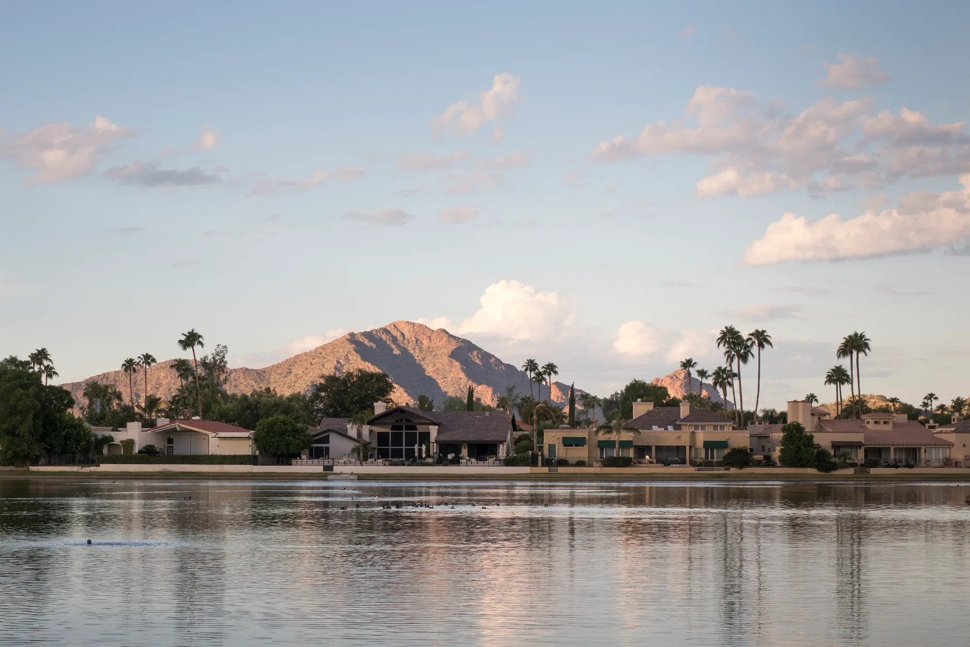
Scottsdale is 31 miles long, and the city at one end barely resembles the city at the other. The south holds the old farm town, its postwar subdivisions and the busy blocks of Old Town. The middle belongs to master-planned communities strung along a greenbelt. The north opens into desert foothills and mountain preserve. Here is a tour from south to north, with a place or two in each part of town that locals know.
How the city draws its own map
The city does not divide itself into official villages. Instead, its General Plan 2035 names areas that deserve their own long-range plans, called character area plans, which set goals for what each part of town should look and feel like. The plan identified 24 such areas, and seven plans have been adopted so far: Cactus Corridor (1992), Shea (1993), Desert Foothills (1999), Dynamite Foothills (2000), Greater Airpark (2010), Southern Scottsdale (2010) and Old Town (2018). Those names make a useful starting vocabulary for the city's neighborhoods.
Old Town
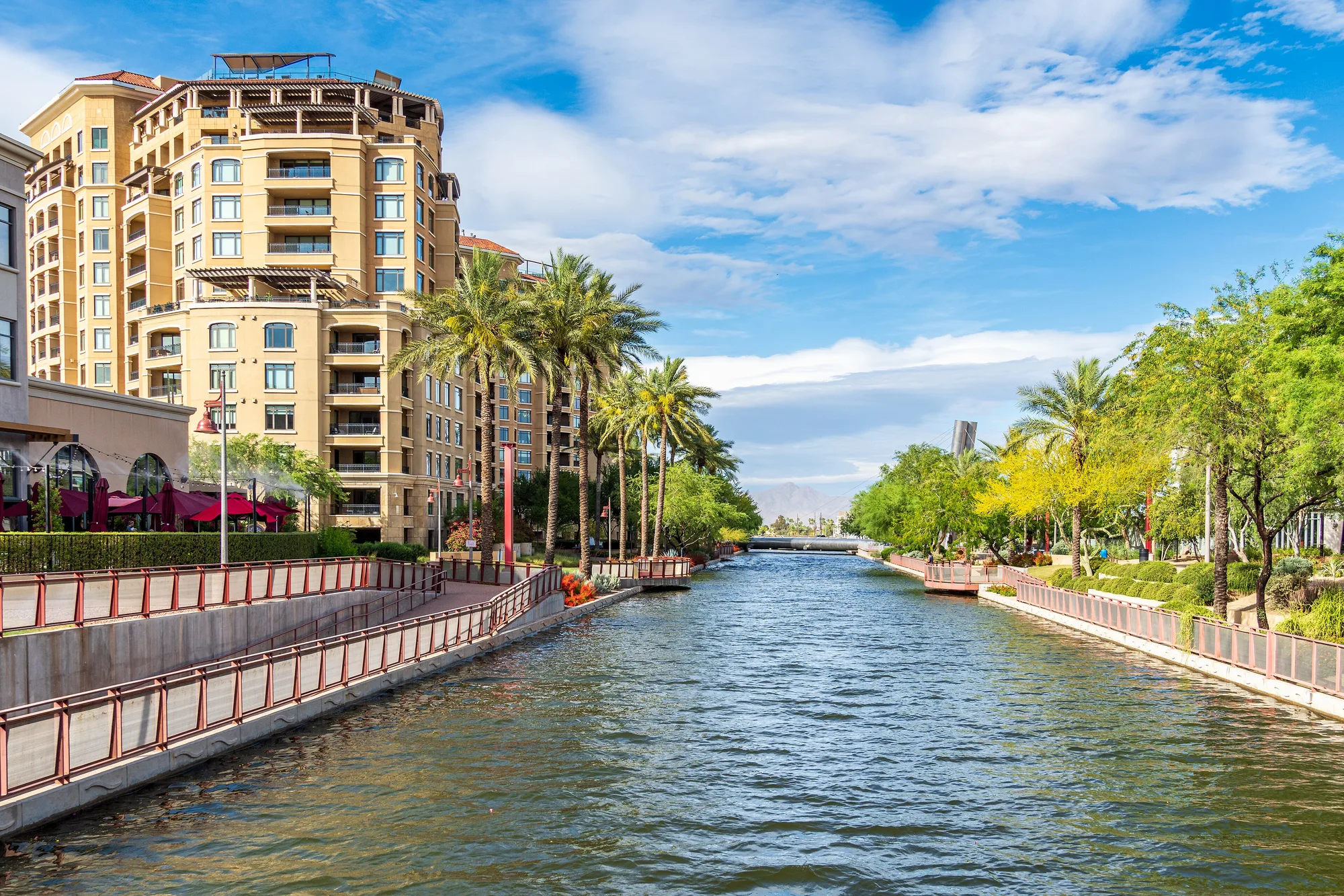
Old Town is the original townsite, now a walkable center of just over a square mile. Experience Scottsdale divides it into districts: galleries and the Thursday ArtWalk in the Arts District, shops around Fifth Avenue, Western wear and historic buildings in Historic Old Town, restaurants along the Arizona Canal at the Waterfront, and the 21-acre Civic Center park with the library, performing arts center and Scottsdale Stadium. Its current character area plan was adopted in 2018.
On Brown Avenue, Yellow Spruce Roasters runs a day-to-night coffee and wine bar with coffee roasted in Scottsdale, and it also runs the café kiosk inside the Civic Center Library.
Southern Scottsdale and its historic neighborhoods
South and east of Old Town is the Scottsdale that grew up after World War II. Motorola opened a plant near the city's western edge in 1950 and another on McDowell Road in 1956, and by 1960 more than 10,000 people lived in about five square miles. Through the 1960s the population grew sixfold. Builders answered with modest ranch-house subdivisions, and several of them are now protected.
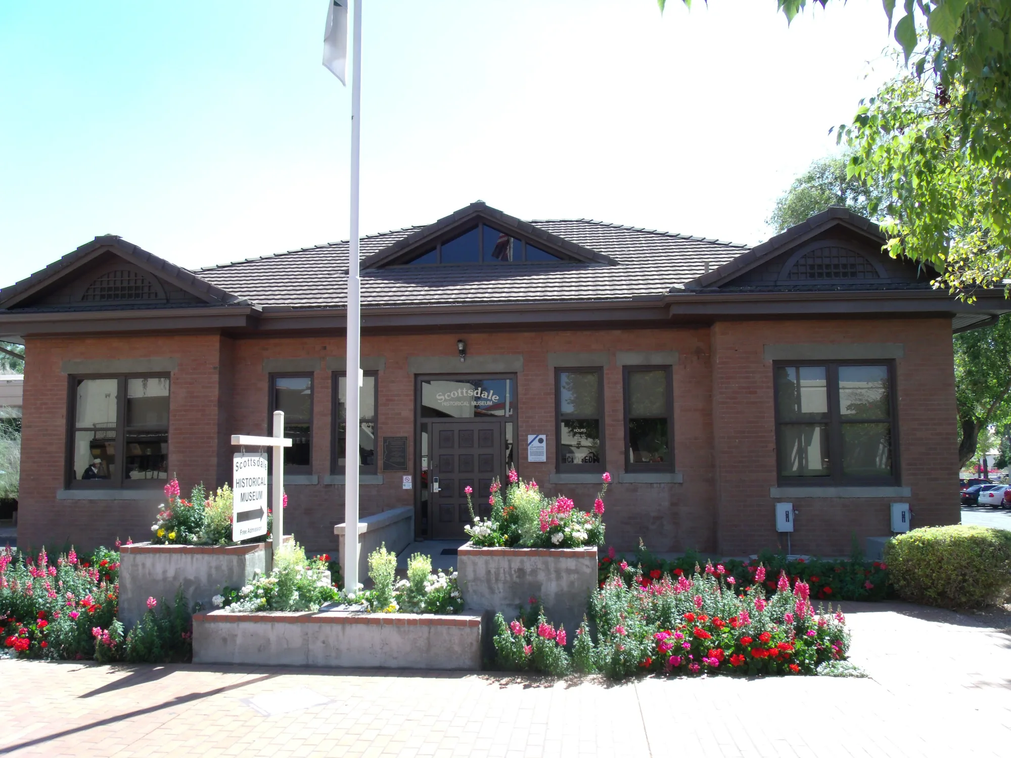
The Scottsdale Historic Register includes four postwar residential districts: Village Grove 1-6 near 68th Street and Oak Street, from 1957; Town and Country Scottsdale near 74th Street and Oak Street, from 1959; Villa Monterey Units 1-7, built from 1961 to 1969 near Chaparral and Miller roads; and the Sands North Townhouses, from 1972, on Joshua Tree Lane. Their streets make a good walk for anyone who likes midcentury houses.
A longtime anchor here is DeFalco's Italian Eatery, Grocery & Deli on Scottsdale Road, run by the DeFalco family for more than three generations, with Italian groceries, meats and cheeses sliced to order, house-made sausage, sandwiches and pizza.
McCormick Ranch and the greenbelt
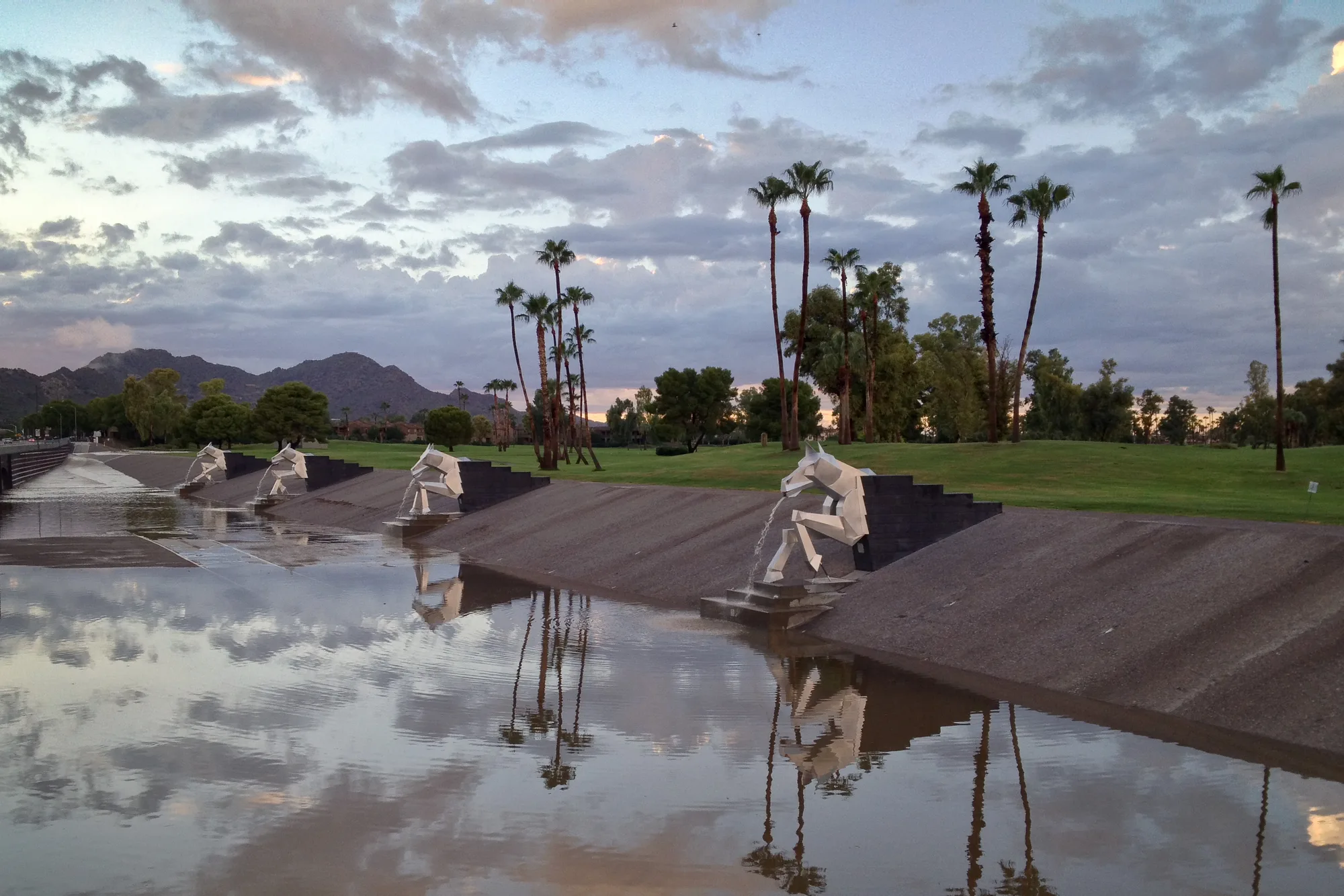
In the early 1970s, McCormick Ranch became the city's first master-planned community, and it set the pattern for much of central Scottsdale. It sits along the Indian Bend Wash greenbelt, the chain of parks, lakes and paths the city built from 1973 to 1985 instead of a concrete flood channel. The greenbelt still does both jobs: after storms over Halloween weekend 2026, the city asked residents to stay out for several days while water drained through.
Families know the area for McCormick-Stillman Railroad Park on Indian Bend Road, a 30-acre city park with rides on the Paradise & Pacific Railroad and a 1950 Allan Herschell carousel. For dinner, Vecina at McCormick Ranch on Hayden Road cooks a seasonal, shareable menu built on Latin-inspired spices and chiles.
The Shea corridor
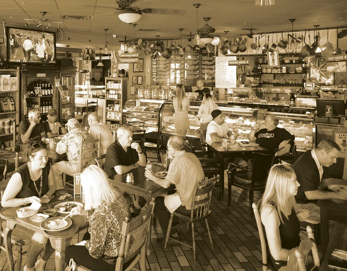
Shea Boulevard, with its own area plan from 1993, crosses the middle of the city. The Mustang Library on 90th Street, opened in 1987, serves the area. On Shea, JL Patisserie bakes French pastry, with gluten-free options and baking classes. Off 90th Street on Via Linda, Andreoli Italian Grocer, led by Giovanni Scorzo, combines a restaurant with a market counter of Italian imports and house-made salumi and focaccia.
The Airpark and the far north
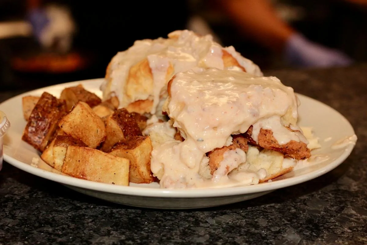
North of Shea, the Greater Airpark, with its own 2010 plan, has grown up around Scottsdale Airport, which began as Thunderbird Field No. 2, a World War II training field, and became the city's airport in 1967. On Hayden Road, SugarJam The Southern Kitchen serves Southern-style brunch and lunch.
Beyond the Airpark, the Desert Foothills and Dynamite Foothills plans aim to keep a rural desert character, with open space balanced against development. This is preserve country: the McDowell Sonoran Preserve's trailheads, the Arabian and Appaloosa libraries, and, new this year, the 3.5-acre Thompson Peak Dog Park near Hayden Road and Thompson Peak Parkway. In the city's 75th anniversary year, the Appaloosa Library is among the hosts of the Celebrate 75 history talks, including one on Curry's Corner and Rawhide in north Scottsdale.
Finding your neighborhood's people
Whether your street has a homeowners association or an informal neighborhood group, the city's free Neighborhood College classes are built for board members and residents who want to get involved, and its online Neighborhood Map shows what is happening near you. For the historic districts, the Scottsdale Historical Society's register lists every protected property and district. Learn a few of these names and the long city starts to make sense, one neighborhood at a time.
Sources and further reading 20
- City of Scottsdale: scottsdaleaz.gov/aboutchecked November 7, 2026 · City stretches 31 miles from north to south.
- City of Scottsdale: scottsdaleaz.gov/long-range-planning/character-area-plansPublished May 21, 2026 · checked November 7, 2026 · Character area plans as components of the General Plan 2035; 24 areas designated; seven adopted plans and their years.
- Experience Scottsdale: experiencescottsdale.com/media/research/fact-sheets/old-town/checked November 7, 2026 · Old Town just over one square mile; districts and what each holds; 21-acre Civic Center with performing arts center and Scottsdale Stadium.
- Yellow Spruce Roasters: yellowspruceroasters.netchecked November 7, 2026 · Old Town day-to-night coffee and wine bar; coffee roasted locally in Scottsdale; café kiosk at the Civic Center Library.
- City of Scottsdale: scottsdaleaz.gov/about/scottsdale-historychecked November 7, 2026 · Motorola plants in 1950 and on McDowell Road in 1956; more than 10,000 residents in about 5 square miles by 1960; sixfold growth in the 1960s; McCormick Ranch as first master-planned community in the early 1970s; Indian Bend Wash greenbelt instead of a concrete ditch.
- Scottsdale Historical Society: scottsdalehistory.org/Scottsdale-Historical-Registerchecked November 7, 2026 · Scottsdale Historic Register: Village Grove 1-6 (1957, N 68th St & E Oak St), Town and Country Scottsdale (1959, N 74th St & E Oak St), Villa Monterey Units 1-7 (1961-1969, E Chaparral Rd & N Miller Rd), Sands North Townhouses (1972, 7322 E Joshua Tree Lane).
- DeFalco's Italian Eatery, Grocery & Deli: defalcosdeli.comchecked November 7, 2026 · Family-run for over three generations at 2334 N Scottsdale Road; Italian groceries, meats and cheeses sliced to order, house-made sausage, sandwiches, pizza.
- City of Scottsdale: scottsdaleaz.gov/celebrate-75/75-years-of-scottsdale-historyPublished August 19, 2026 · checked November 7, 2026 · Indian Bend Wash greenbelt begun 1973, finished 1985; Thunderbird Field No. 2 and Scottsdale Airport in 1967.
- City of Scottsdale: scottsdaleaz.gov/news/details/stay-out-of-scottsdales-greenbelt-as-stormwater-continues-to-flowPublished November 1, 2026 · checked November 7, 2026 · After storms beginning Oct. 30, 2026, residents asked to stay out of the greenbelt for several days; it serves recreation and flood control.
- City of Scottsdale (McCormick-Stillman Railroad Park): therailroadpark.comchecked November 7, 2026 · 30-acre city park at 7301 E. Indian Bend Rd.; Paradise & Pacific Railroad rides; 1950 Allan Herschell carousel.
- Vecina: vecinaphx.comchecked November 7, 2026 · McCormick Ranch location at 8300 N. Hayden Road, open 4 to 9 p.m. daily; seasonal, shareable menu built on Latin-inspired spices and chiles.
- Scottsdale Public Library: scottsdalelibrary.org/locationsPublished July 2, 2026 · checked November 7, 2026 · Mustang Library at 10101 N. 90th St. (1987); Arabian (2007) and Appaloosa (2009) libraries; Civic Center Library.
- JL Patisserie: jlpatisserie.com/contact/checked November 7, 2026 · Scottsdale shop at 7342 E Shea Blvd #108; French pastry, gluten-free options, catering and baking classes.
- Andreoli Italian Grocer: andreoli-grocer.comchecked November 7, 2026 · 8880 E Vía Linda; Giovanni Scorzo; restaurant plus grocery counter with Italian imports and house-made salumi and focaccia.
- SugarJam The Southern Kitchen: sjsouthernkitchen.com/location/sugar-jam/checked November 7, 2026 · 15111 North Hayden Rd, Suite 170; Southern kitchen (menus page sjsouthernkitchen.com/menus/ lists Weekday Brunch n Lunch and Weekend Brunch menus).
- City of Scottsdale: scottsdaleaz.gov/long-range-planning/character-area-plans/dynamite-foothills-character-area-planchecked November 7, 2026 · Dynamite Foothills plan (adopted March 2000) aims to preserve rural desert character, balance development with the environment and promote open space.
- City of Scottsdale: scottsdaleaz.gov/preservePublished November 3, 2026 · checked November 7, 2026 · McDowell Sonoran Preserve trailheads in the north.
- City of Scottsdale: scottsdaleaz.gov/news/details/unleashed-scottsdale-opens-new-thompson-peak-dog-parkPublished August 21, 2026 · checked November 7, 2026 · Thompson Peak Dog Park, 3.5 acres near Hayden Road and Thompson Peak Parkway, opened August 2026.
- City of Scottsdale: scottsdaleaz.gov/celebrate-75checked November 7, 2026 · Celebrate 75 history talks, including 'Before Silverstone: The History of Curry's Corner and Rawhide in Scottsdale' at the Appaloosa Library (Nov. 18, 2026).
- City of Scottsdale: scottsdaleaz.gov/neighborhood-programs/collegePublished August 20, 2026 · checked November 7, 2026 · Free Neighborhood College classes for residents, neighborhood groups and HOA board members; Neighborhood Map link.