Parks, trails and outdoor places in Ahwatukee
South Mountain trailheads on the Ahwatukee side, Pecos and Desert Foothills parks, and the heat rules the City of Phoenix publishes for the trails next door.
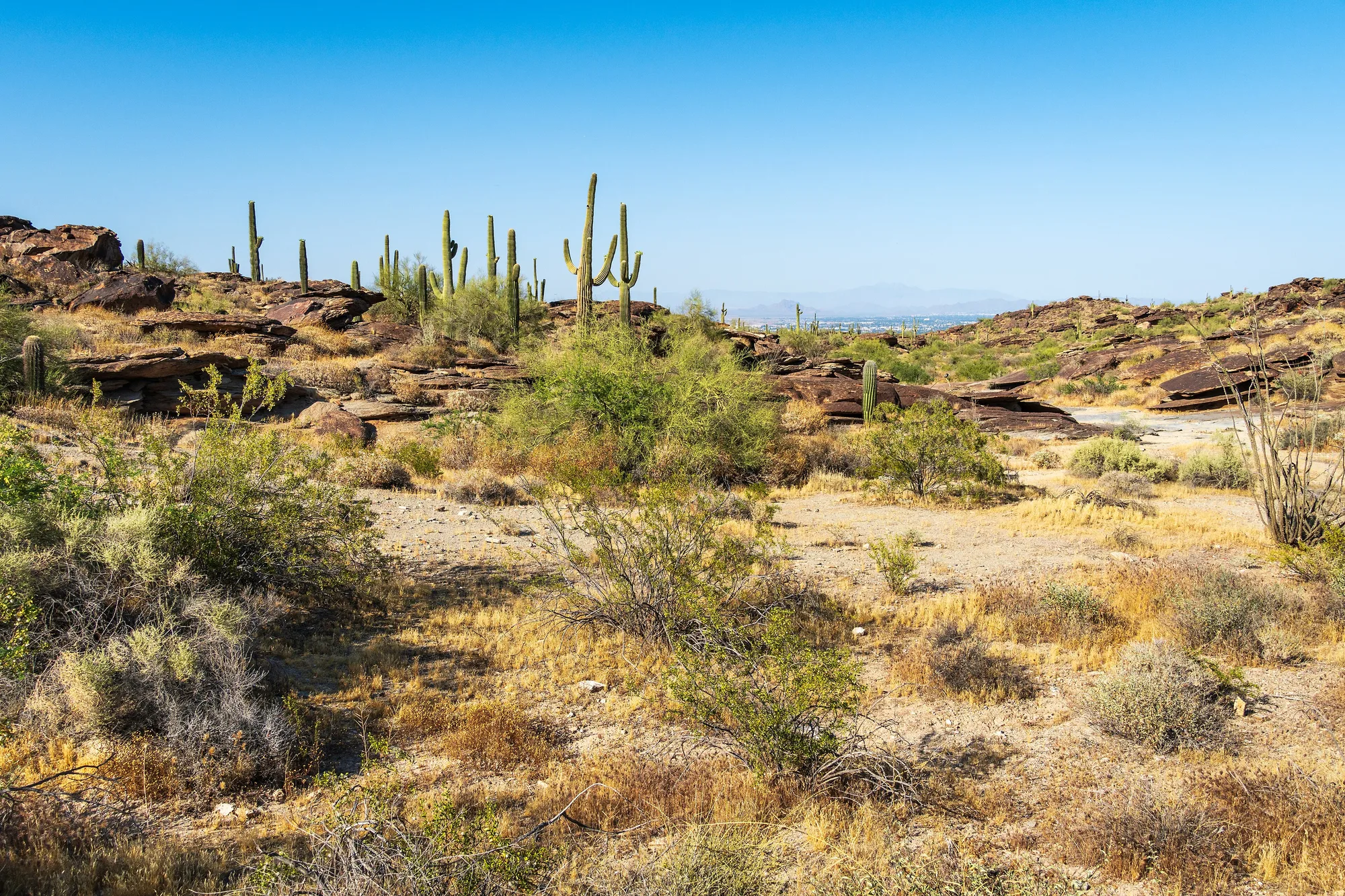
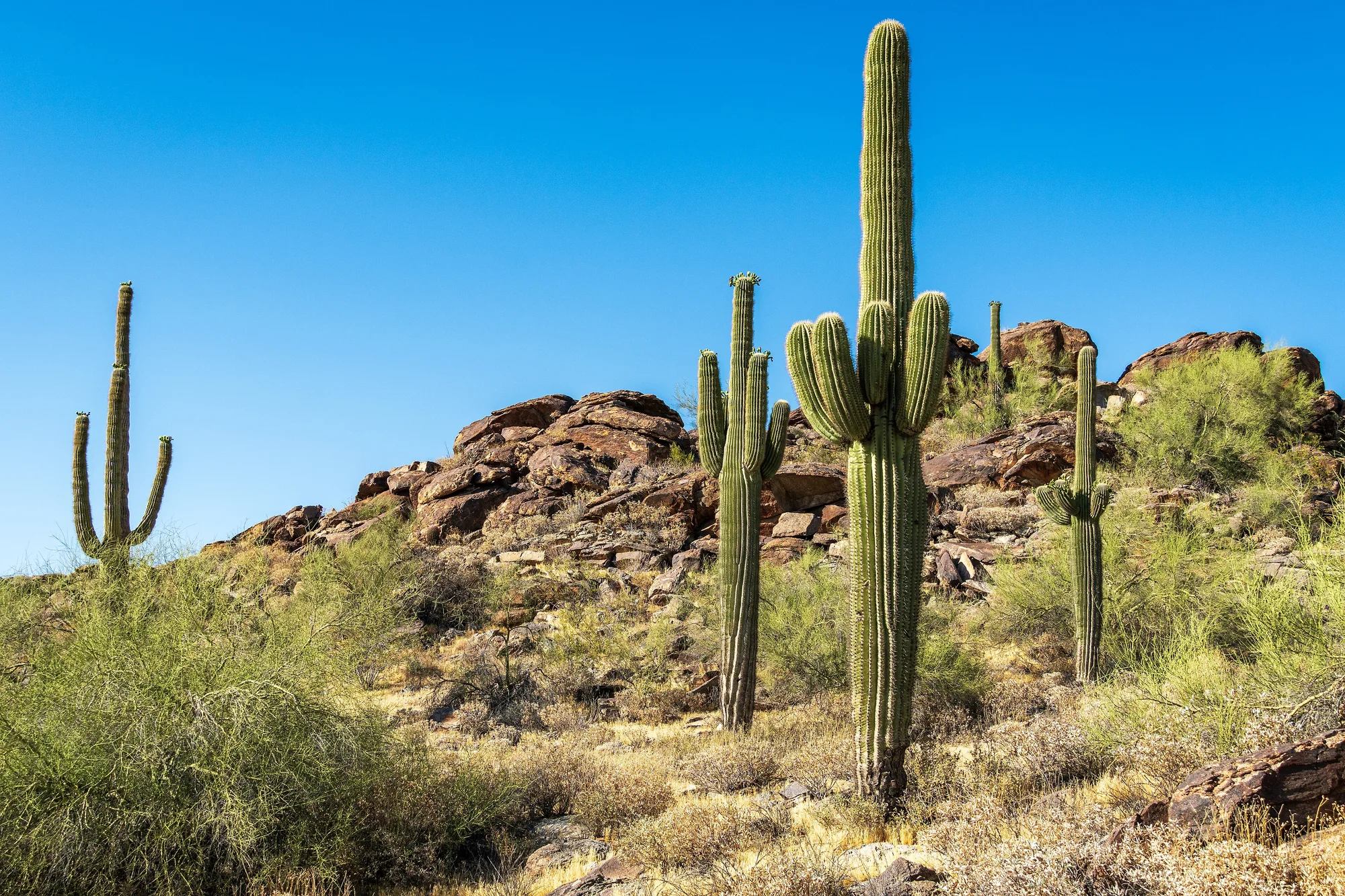
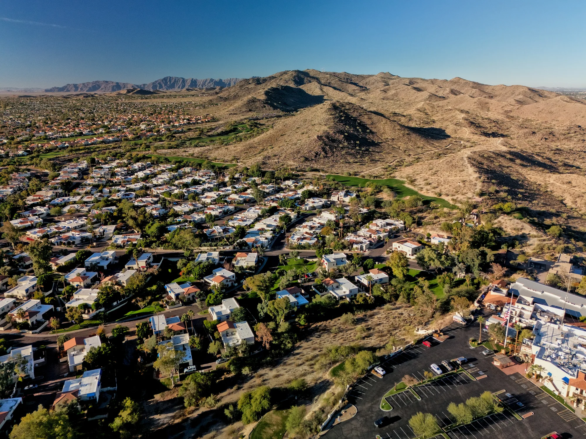
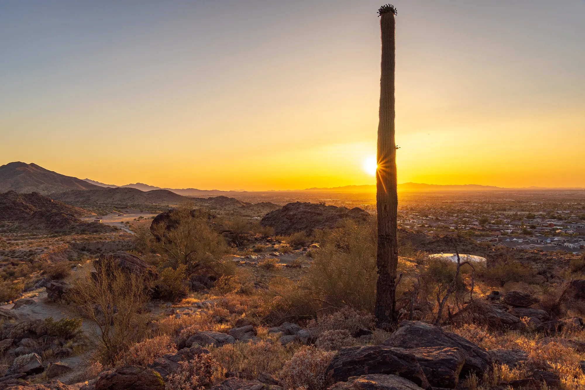
In Ahwatukee, the mountain is the neighbor everyone shares. The City of Phoenix draws the northern edge of Ahwatukee Foothills, one of its urban villages, along the foothills of South Mountain Park/Preserve, and its plan for the village describes a place built around hiking, biking, walking and playing in that rugged open space, with manicured parks closer to home. Here is how to get outside from this side of the mountain, and how to do it safely as the seasons turn.
South Mountain, from the Ahwatukee side
South Mountain Park/Preserve covers more than 16,000 acres across three ranges, the Ma Ha Tauk, Gila and Guadalupe, with more than 100 miles of trails for hiking, horseback riding and mountain biking. The city bought the first 13,000 acres in 1924, and the park marked its centennial in 2024. The main entrance and Summit Road are on the north side, but Ahwatukee has trailheads of its own.
- Desert Foothills Trailhead, 14251 S. Desert Foothills Parkway, is the start of the Telegraph Pass Trail and a doorway to the long Desert Classic Trail.
- Warpaint Drive Access Trailhead, 13009 S. Warpaint Drive, serves a short loop of under a mile and connects to the Desert Classic. From there, the Corona de Loma Trail climbs a rough, sometimes steep 1.6 miles to the National Trail near Buena Vista Lookout.
- Area 620, 15441 S. 19th Ave., on the village’s west side, is the start of the Pyramid Trail. It begins easily, then turns steep at the base of a ridge and climbs about 1,100 feet in three miles to meet the National Trail.
- Pima Canyon Trailhead, 4500 E. Pima Canyon Road off 48th Street, at the park’s east end, has a family of gentler routes, including the Pima Wash and Pima loop trails, plus the eastern end of the Desert Classic, which the city lists at nine miles with only about 270 feet of elevation change.
The city’s plan for the village singles out the Desert Classic, Pyramid and Pima trails as community assets, and they cover a range: the Desert Classic for a long, mostly rolling run or ride along the south side of the mountain, Pyramid for a real climb, and the Pima loops for an easy morning with children.
Look closely as you go. South Mountain holds thousands of petroglyphs, left mostly by the Hohokam, who lived in the region from about A.D. 450 to 1450, and the city lists the Telegraph Pass and Desert Classic trails among the routes where rock art can be seen. Photograph it from the trail; the oils on hands damage the images, and staying on the path protects them and the wildlife habitat.
Parks closer to home
Pecos Park, at 48th Street and Chandler Boulevard, is the village’s big city park. The city describes it as a large regional park with a skate park, a pool, a dog park, a splash pad, tennis and pickleball courts and several athletic fields. Its skate park mixes beginner and advanced features, from a street plaza and grinding ledges to bowls. The Pecos Community Center, with more than 38,000 square feet, adds a gymnasium, a fitness room and classes. The pool and splash pad are warm-weather amenities with their own seasons, so check the city’s pages before packing towels.
Desert Foothills Park, at 1010 Marketplace on the west side, has ball fields, basketball, tennis, volleyball and pickleball courts and a playground. It is also one of the city’s designated parks for radio-controlled aircraft, model rockets and drones, provided pilots follow city, state and federal rules.
Off Warner Road, the Ahwatukee Community Swim, Tennis and Event Center keeps Ahwatukee Park, with open grass, a playground, a ball field and shaded ramadas that residents and non-residents can rent for gatherings.
Heat rules the city publishes
Phoenix runs a Trail Heat Safety Program. On days when the National Weather Service issues an Extreme Heat Warning, the city restricts the Holbert, Mormon and Hau’pal Loop trails, all reached from the park’s north side, from 8 a.m. to 5 p.m. The part that applies on the Ahwatukee side is the same restriction on access to the National Trail from the Pima Canyon Trailhead. The other Pima Canyon trails stay open, and the city notes that fewer than seven of South Mountain’s 100-plus miles are affected.
The heat season keeps stretching. The Ahwatukee Foothills News reported in October that this year’s first excessive heat warning came on March 19, the earliest on record, and that firefighters treated 18 rescue patients at South Mountain between May and August, the same as a year earlier. The busiest hour for South Mountain rescues was 9 a.m., a reminder that mornings are not automatically safe. The city’s Take a Hike. Do it Right. checklist covers the basics, and residents can sign up for its email alerts about trail restrictions during heat warnings.
November through March is the season to make the most of. Even then, carry more water than you think you need, tell someone your route and turn back early.
Maps and trail conditions
The city’s South Mountain trails page lists every trailhead, with each trail’s distance, elevation change and difficulty, a printable trail map and an interactive map. The park page posts alerts, gate hours and the Silent Sunday schedule, when Summit Road closes to cars so walkers and cyclists can use it. Through Hike Right PHX, park rangers lead free hikes for registered participants, and the city’s outdoor nature programs include family workshops.
After the trail
Two Ahwatukee studios suit a recovery day. Ahwatukee Pilates and Wellness, at 1442 E. Chandler Blvd., offers Pilates group classes. Satya Yoga Center, which opened this summer at 4425 E. Agave Road, is devoted to Iyengar yoga, a precise, alignment-focused method that uses props and individual corrections; its founder, Ali Leonka, told the local paper she hikes and trail-runs on South Mountain herself.
Lace up early, bring water, and the mountain will be there every morning you want it.
Sources and further reading 18
- City of Phoenix Planning and Development: phoenix.gov/content/dam/phoenix/pddsite/villagessite/documents/pdd_pz_pdf_00471.pdfchecked November 7, 2026 · Village Character Plan: northern border along South Mountain Park foothills; outdoor lifestyle; Desert Classic, Pyramid and Pima trails and South Mountain petroglyphs listed as village assets; Pecos Community Center and Desert Foothills Park.
- City of Phoenix Planning and Development: phoenix.gov/administration/departments/pdd/planning-zoning/villages/ahwatukee-foothills.htmlchecked November 7, 2026 · Village description: family-oriented outdoor lifestyles, hiking and biking in South Mountain open space and manicured parks.
- City of Phoenix Parks and Recreation: phoenix.gov/administration/departments/parks/activities-facilities/trails/south-mountain-parkpreserve.htmlchecked November 7, 2026 · More than 16,000 acres, three ranges, 100+ miles of trails for hiking, horseback riding, mountain biking; 13,000 acres bought in 1924; centennial in 2024; Silent Sunday Summit Road closures; alerts and hours; Hike Right PHX and outdoor programs links.
- City of Phoenix Parks and Recreation: phoenix.gov/administration/departments/parks/activities-facilities/trails/south-mountain-parkpreserve/south-mountain-trails.htmlchecked November 7, 2026 · Trailhead addresses: Desert Foothills (14251 S. Desert Foothills Pkwy, Telegraph Pass), Warpaint Dr. Access (13009 S. Warpaint Dr., Warpaint Loop 0.8 mi, Corona de Loma 1.6 mi), Area 620 (15441 S. 19th Ave., Pyramid Trail 3.0 mi, 1,100 ft), Pima Canyon (4500 E. Pima Canyon Rd., Desert Classic 9.0 mi, 270 ft; Pima Wash and loop trails); trail map links.
- City of Phoenix Parks and Recreation: phoenix.gov/content/dam/phoenix/parkssite/documents/pks_nrd/109323.pdfchecked November 7, 2026 · Hohokam Rock Art at South Mountain Park: thousands of petroglyphs, Hohokam c. A.D. 450-1450; rock art along Telegraph Pass and Desert Classic among others; photograph from the trail, hand oils damage it.
- City of Phoenix Parks and Recreation: phoenix.gov/administration/departments/parks/activities-facilities/city-parks/pecos-park.htmlchecked November 7, 2026 · Pecos Park, 17010 S 48th St: courts, fields, pool, community center, skate park, splash pad.
- City of Phoenix Parks and Recreation: phoenix.gov/administration/departments/parks/activities-facilities/recreation-centers/pecos-community-center.htmlchecked November 7, 2026 · Pecos Community Center at 48th St. and Chandler; 38,000+ sq ft; gym, fitness room, classes; Pecos Park described as a large regional park with skate park, pool, dog park, athletic fields.
- City of Phoenix Parks and Recreation: phoenix.gov/administration/departments/parks/activities-facilities/skate-parks/pecos-skate-park.htmlchecked November 7, 2026 · Pecos Skate Park beginner and advanced features: street plaza, grinding ledges, bowls.
- City of Phoenix Parks and Recreation: phoenix.gov/administration/departments/parks/activities-facilities/splash-pads/pecos-splash-pad.htmlchecked November 7, 2026 · Pecos Splash Pad seasonal schedule (2026 season opened March 20).
- City of Phoenix Parks and Recreation: phoenix.gov/administration/departments/parks/activities-facilities/city-parks/desert-foothills-park.htmlchecked November 7, 2026 · Desert Foothills Park, 1010 Marketplace: ball field, courts, playground; designated radio-controlled aircraft, model rocket and drone-use location.
- Ahwatukee Community Swim, Tennis and Event Center: ahwatukeecommunitycenter.com/park/checked November 7, 2026 · Ahwatukee Park: open grass fields, playground, shaded picnic tables, ramada rentals with resident and non-resident rates, baseball field add-on.
- City of Phoenix Parks and Recreation: phoenix.gov/administration/departments/parks/activities-facilities/trails/heat-safety.htmlchecked November 7, 2026 · Trail Heat Safety Program: on Extreme Heat Warning days, Holbert, Mormon, Hau'pal Loop and National Trail access from Pima Canyon Trailhead restricted 8 a.m.-5 p.m.; other Pima Canyon trails open; fewer than 7 miles affected; email alert subscription.
- Ahwatukee Foothills News: ahwatukee.com/news/3-phoenix-mountain-areas-saw-more-heat-rescues/article_7b10b938-8f59-4edd-b37c-206d5a944dfe.htmlPublished October 16, 2026 · checked November 7, 2026 · 2026 summer: 18 South Mountain rescue patients May-Aug, same as 2025; busiest South Mountain hour 9 a.m.; first excessive heat warning March 19, earliest on record.
- City of Phoenix Parks and Recreation: phoenix.gov/administration/departments/parks/activities-facilities/trails.htmlchecked November 7, 2026 · Take a Hike. Do it Right. checklist; Hike Right PHX free ranger-led hikes with registration; outdoor nature programs; Extreme Heat Warning notification sign-up.
- Ahwatukee Pilates and Wellness: ahwatukee-pilates.comchecked November 7, 2026 · 1442 E. Chandler Blvd, Suite 104, Phoenix 85048; Pilates group classes.
- Ahwatukee Foothills News: ahwatukee.com/business/yoga-not-just-for-exercise-at-new-studio/article_2ccf3fd4-4828-4393-9403-6a9df2907dbc.htmlPublished August 7, 2026 · checked November 7, 2026 · Satya Yoga Center opened summer 2026 at 4425 E. Agave Road, devoted to Iyengar yoga; alignment, props, individual corrections; Ali Leonka hikes and trail-runs on South Mountain.
- Satya Yoga Center: satyayogacenter.orgchecked November 7, 2026 · Address 4425 E. Agave Rd. Suite 120; only Phoenix-area studio devoted solely to Iyengar yoga; group classes, private instruction.
- City of Phoenix Parks and Recreation: phoenix.gov/content/dam/phoenix/parkssite/documents/pks_nrd/000%20print%20map.pdfchecked November 7, 2026 · South Mountain trail map: 19th Ave. Trailhead at 10500 S. 19th Ave. on the north side, where the Hau'pal Loop begins.