Parks, trails and outdoor places in Buckeye
From Skyline's 20 miles of mountain trail to Sundance Park's lake and the wildlife areas along the Gila, here is where Buckeye gets outside, and how to do it safely.
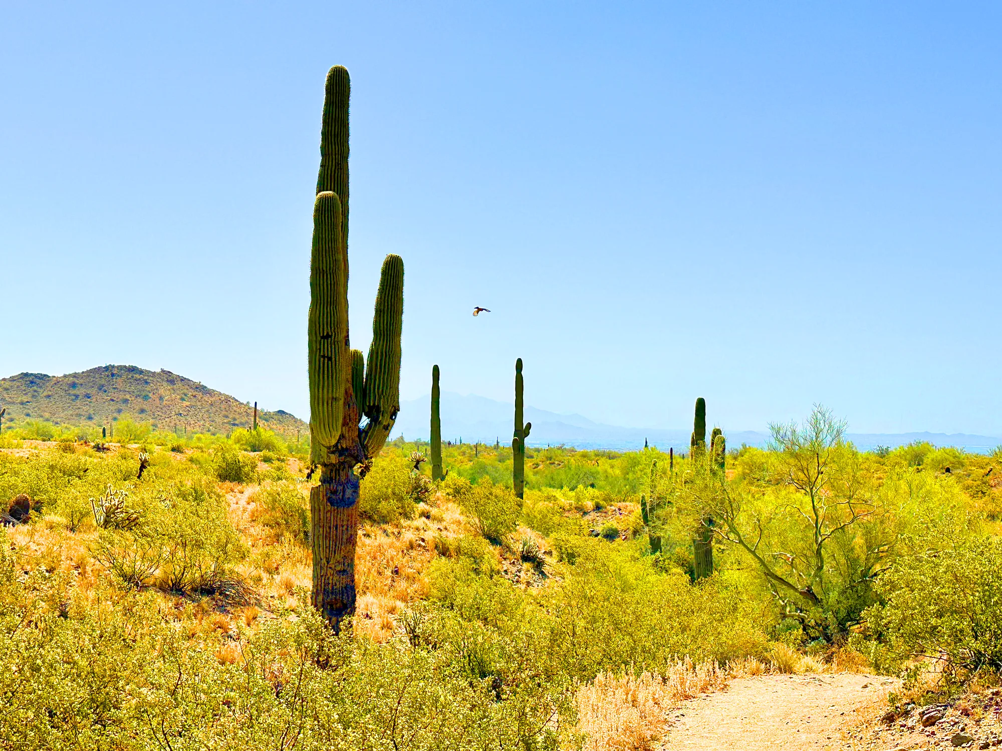
Buckeye stretches from the southern White Tank Mountains down to the Gila River, and its outdoor places follow that range: a mountain preserve on the north side, neighborhood parks with lakes and lighted fields in the middle, and desert hills and river wildlife areas to the south. Here is how residents use them, and the rules the city and county publish for staying safe through the seasons.
Skyline Regional Park
Skyline is the city's big backyard. The 8,700-acre preserve sits in the southern White Tanks, two miles north of the Interstate 10 interchange at 2600 N. Watson Road, and entry is free. Trails are open from sunrise to sunset; the gates close at 10 p.m.
The city counts about 20 miles of trail for hiking, mountain biking and horseback riding. The named routes give a sense of the terrain, from the Chuckwalla and Granite Falls trails to the Quartz Mine Trail, the Turnbuckle and Watson Overlook loops, and summit routes to Crest, Javelina, Valley Vista and Pyrite. Dogs are welcome on the trails on a leash. For a longer stay, the park rents seven campsites and five picnic ramadas, though there are no hookups and no drinking water anywhere in the park, so bring all the water you will need.
The park is changing. This spring the city added 131 parking spaces, 93 at the North Trailhead and 38 at Discovery Point, as part of a $4.2 million project, and it has leased about 640 acres of neighboring federal land to expand the park. Plans for that land include new trails, trailheads, shade structures and restrooms, with the aim of better trail connections toward Verrado. No timeline has been announced.
The nonprofit White Tank Mountains Conservancy, based on Watson Road, works alongside the park on conservation and education and has run youth programs at Skyline.
Sundance Park and the neighborhood parks
For a walk, a game or an hour with the dog, most residents head to a city park. Sundance Park, at 22865 W. Lower Buckeye Road, is the busiest: large shaded playgrounds, lighted fields, four lighted sand volleyball courts, basketball courts, picnic ramadas and a fishing lake. Its dog park has areas for large and small dogs and opens late on Wednesdays for maintenance. The splash pad runs from April 1 to October 31.
Fitness in the Park returned on September 14, 2026, with free evening classes for adults at Sundance Park and Tartesso Sports Park, from yoga and Zumba to dance-based interval workouts. Each class needs online registration.
Closer to downtown, the Earl Edgar Recreational Facility at 500 S. Miller Road has a half-mile walking path alongside lighted ball fields and a shaded playground. Town Park, on North 9th Street, has grass, trees and a playground, plus the skate park and the Buckeye Aquatic Center. After a morning there, Cafe 25:35 on Monroe Avenue serves scratch-made breakfast and lunch a few blocks away. City parks are open from dawn to 10 p.m. unless signs say otherwise.
South toward the Gila River
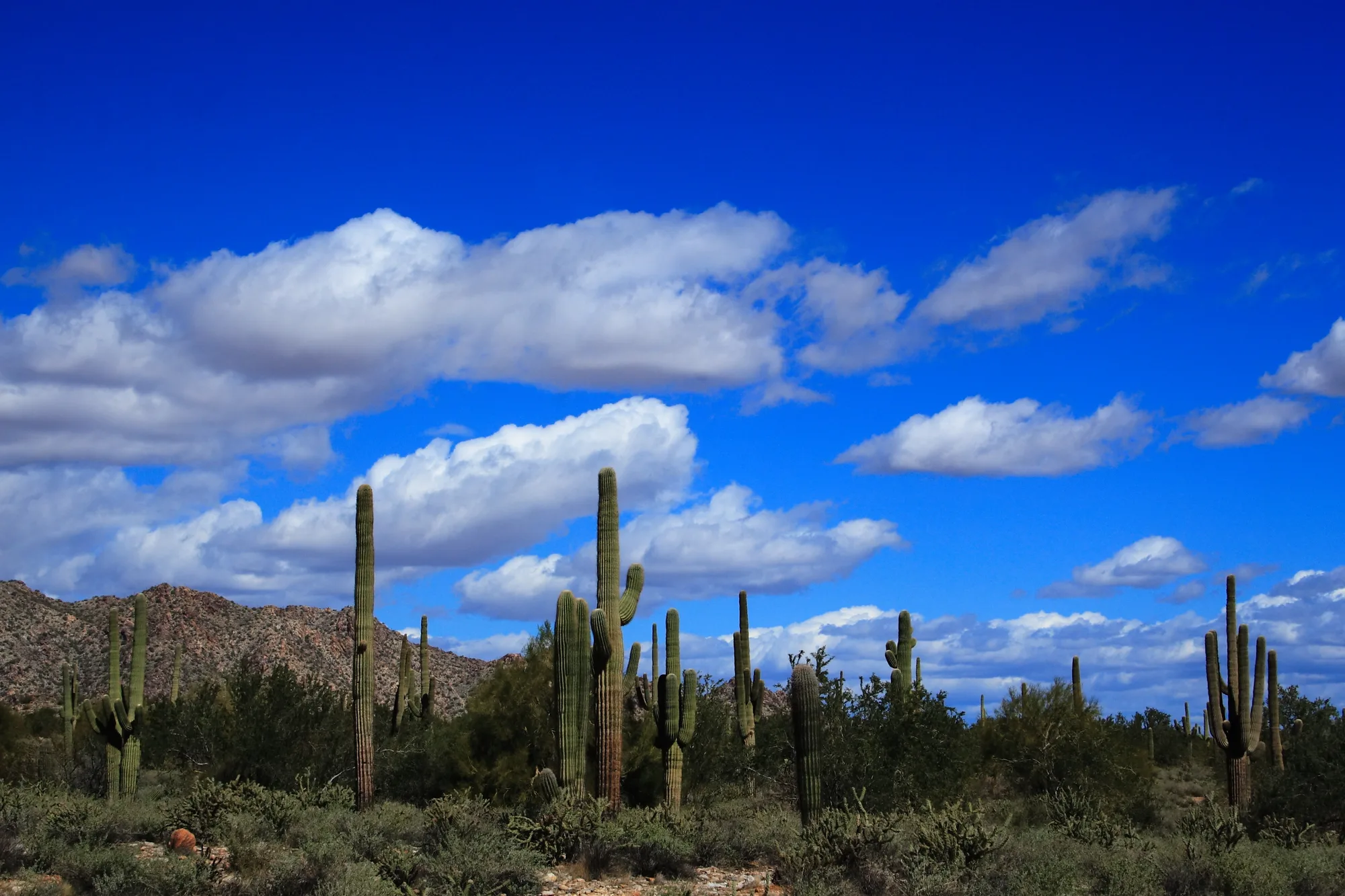
South of town the land opens up. Buckeye Hills Regional Park, run by Maricopa County at 26700 W. Buckeye Hills Drive, covers 4,453 acres of desert peaks, saguaro slopes and mesquite washes with views over the Gila River's green corridor. Amenities are limited: there are restrooms and a shaded ramada, but no running water or electricity. Winter hours run from November 1 to April 30. The county is also working on a master plan for the park and is taking public input on it.
Along the river itself, the city's visitor guide points to three state wildlife areas: Robbins Butte, a 1,600-acre riparian habitat with ruins and petroglyphs and wide views from the butte; Powers Butte, with 1,120 acres for hiking and birdwatching; and Arlington, whose two ponds draw waterfowl. These are wild places, so arrive prepared.
Staying safe in every season
The city's heat-safety guidance is simple: drink plenty of water, keep outdoor activity to mornings and evenings in hot weather, wear loose, light-colored clothing and sunscreen, pace yourself and take breaks somewhere cool. The city has listed the Coyote and Downtown libraries as summer cooling centers in the regional Heat Relief Network, and downtown has hydration stations.
Buckeye Fire-Medical-Rescue also reminds hikers that rattlesnake season runs from March through October. Watch where you step and put your hands, keep pets leashed, and carry a flashlight if you start late in the afternoon. From May 1 to September 30, Maricopa County's annual fire ban applies at Skyline and other parks.
Cool months are the time for the longer summit routes; on summer days, finish early and stay close to the trailhead.
Maps and conditions
The city's Skyline pages carry a downloadable trail map and guide, an interactive trail map and short video previews of each trail. The parks and facilities page has a map of Sundance Park and the rules for every city park, and the free Parks and Recreation newsletter sends Skyline news and program updates. For Buckeye Hills, check the county parks page for hours, fees and notices before you drive out. A quick look at all three before heading out will tell you what is open, what has changed and where to park.
Sources and further reading 12
- City of Buckeye: buckeyeaz.gov/community/skyline-regional-park/about-the-parkchecked November 7, 2026 · Skyline: 8,700 acres in the southern White Tank Mountains, two miles north of I-10/Watson Rd at 2600 N. Watson Rd; free entry; trails sunrise to sunset, gates close 10 p.m.; county fire ban May 1-Sept 30.
- City of Buckeye: buckeyeaz.gov/community/residents/parks-recreation/parks-and-facilitieschecked November 7, 2026 · 20 miles of trails for hiking, biking and riding; Sundance Park amenities, dog park Wednesday maintenance, splash pad April 1-Oct 31; Fitness in the Park from Sept 14, 2026, free, ages 18+, registration; Earl Edgar half-mile path at 500 S. Miller Rd; Town Park, skate park and Aquatic Center; parks open dawn to 10 p.m.; Sundance Park map and park rules.
- City of Buckeye: buckeyeaz.gov/community/skyline-regional-park/skyline-regional-park-trailschecked November 7, 2026 · Named trails and summits; dogs permitted on leash; trail map and guide, interactive trail map, trail videos.
- City of Buckeye: buckeyeaz.gov/community/skyline-regional-park/skyline-regional-park-camping-ramadaschecked November 7, 2026 · Seven campsites and five ramadas; no hookups; no drinking water in the park.
- InBuckeye: inbuckeye.com/community/improvements-continue-at-buckeyes-skyline-regional-park/Published April 19, 2026 · checked November 7, 2026 · 131 new parking spaces (93 North Trailhead, 38 Discovery Point), $4.2 million project; about 640 acres leased; planned trails, trailheads, shade, restrooms; connections toward Verrado; no timeline.
- White Tank Mountains Conservancy: wtmconservancy.org/visit-a-park/skyline-regional-park/checked November 7, 2026 · Independent nonprofit at 430 S. Watson Road partnering with Skyline on conservation and education; ran two Youth to Mountains programs at Skyline in December 2022 (post dated February 7, 2023); not part of the park system.
- Cafe 25:35 (Buckeye Valley Chamber of Commerce page): admin.docu.team/mtiodew/index.phpchecked November 7, 2026 · Cafe 25:35 at 409 Monroe Ave; scratch-made breakfast and lunch.
- Maricopa County Parks and Recreation: maricopacountyparks.net/park-locator/buckeye-hills-regional-park/checked November 7, 2026 · Buckeye Hills Regional Park: 4,453 acres, 26700 W. Buckeye Hills Dr.; landscape and Gila River views; restrooms, ramada, no running water or electricity; Nov 1-Apr 30 hours season; master plan public meeting Nov 18.
- City of Buckeye: buckeyeaz.gov/residents/visit-buckeyechecked November 7, 2026 · Robbins Butte (1,600 acres, ruins and petroglyphs), Powers Butte (1,120 acres), Arlington Wildlife Area (two ponds, waterfowl).
- City of Buckeye: buckeyeaz.gov/residents/monsoon-safety-and-preparednesschecked November 7, 2026 · Heat prevention tips; Coyote and Downtown libraries as cooling centers in the Heat Relief Network; downtown hydration stations.
- City of Buckeye Fire-Medical-Rescue Department: buckeyeaz.gov/residents/fire-medical-rescue-department/divisions/monsoon-safety-and-preparedness/hiking-safetychecked November 7, 2026 · Rattlesnake season March-October; hiking safety tips including leashes and flashlights.
- City of Buckeye: buckeyeaz.gov/community/residents/events-in-buckeye/event-calendarchecked November 7, 2026 · Free Parks and Recreation newsletter with Skyline news and program updates.