Parks, Trails and Outdoor Places in Peoria: From River Paths to the Northern Preserves
Peoria's three community parks, the New River and Skunk Creek paths, the mountain preserves up north and Lake Pleasant, with the city's own rules for heat, storms and trail closures.
Peoria runs a long way north, from the older neighborhoods near Grand Avenue to desert mountains and the shore of Lake Pleasant. Its outdoor places follow that shape. The city counts more than 30 parks and over 20 miles of trails, with paved paths along two washes in the south and center of town and nearly 31 miles of mountain hiking trails in the north.
November is when most of it comes back into use. Here is how the pieces fit together, and what the city asks of people who use them.
The three community parks
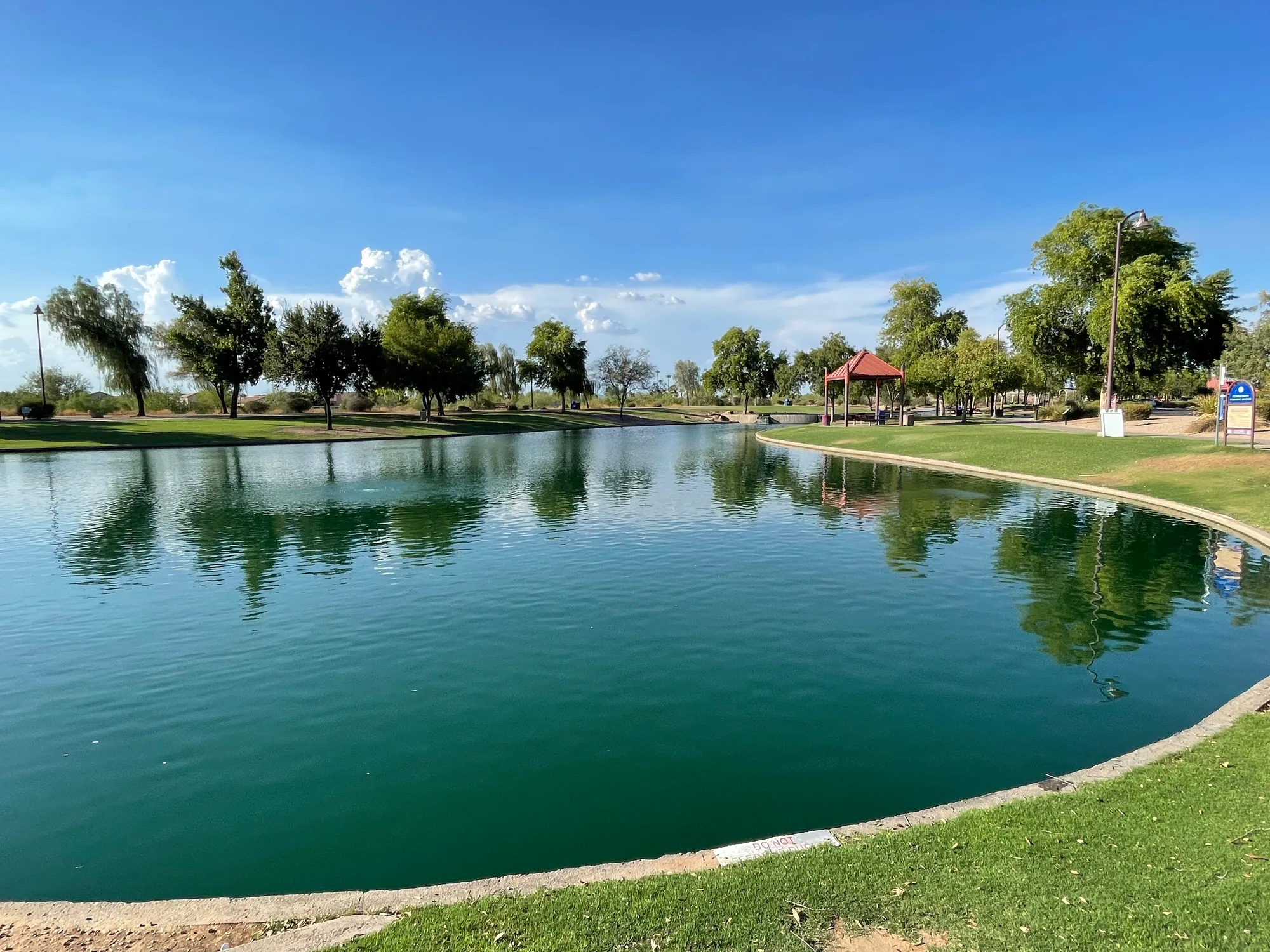
Rio Vista Community Park, at 8866 W. Thunderbird Road just west of the Loop 101, covers 52 acres. Around its 2.5-acre urban lake are a walking and jogging path, an orienteering and pacing course, a skate park, sand volleyball and a StoryWalk for young readers. It is also home to Peoria's Veterans Memorial and to a trailhead for the New River Trail.
Pioneer Community Park, near 83rd and Olive avenues, is larger at 83 acres, with a 5-acre fishing lake, a dog park, ball fields and shaded playgrounds. Look for Forge, the large public artwork by Thomas Sayre that can be seen from 83rd Avenue.
In the north, Paloma Community Park opened in October 2020 at Lake Pleasant Parkway and Dixileta Drive. Its 85 acres include a fishing lake with a deck, lighted pickleball courts, a lighted dog park, an inclusive-design playground and an overlook plaza, and a trailhead at the park leads into the Paloma Preserve.
All three lakes are part of Arizona's community fishing program, so anyone 10 or older needs a state fishing license. A short drive west of Pioneer, near 91st Avenue and Olive, Foothills Sports Medicine Physical Therapy runs a Peoria clinic with an open gym space alongside its treatment rooms.
River paths: New River and Skunk Creek
The paved multi-use paths are where Peoria walks, runs and rides. The New River Trail follows the wash north from Bethany Home Road in Glendale to Happy Valley Road, and the Skunk Creek Trail runs 5.7 miles from Rio Vista Community Park to 51st Avenue in Glendale. Trailheads include Rio Vista, Westbrook Village on 83rd Avenue, Fletcher Heights near 76th Avenue and Deer Valley Road, and the Skunk Creek trailhead at 15091 N. 83rd Avenue.
These paths sit in washes, and that matters after rain. Following heavy storms at the start of November, the city closed the lowest sections of the New River Trail beneath Thunderbird Road and at Grand Avenue while they were underwater, kept the upper terraces from Thunderbird north to Jomax Road open, and closed the muddy Skunk Creek trailhead at 83rd Avenue for a few days. Its advice holds for any storm: watch for debris, stay on the hard surface, keep away from moving water and never go around a barricade, even if the water looks lower.
Electric bikes are welcome under the usual bike rules as long as they can't exceed 28 mph. If your own bike needs attention first, Bikers Edge Cycle & Fitness on 83rd Avenue downtown handles flats and tune-ups.
Mountain preserves in the north
North Peoria's hiking is in a string of small mountain preserves. Westwing Mountain and Sunrise Mountain trails both start at WestWing Neighborhood Park on Westwing Parkway. Eastwing Mountain's trailhead is at Sonoran Mountain Ranch Park on Miner Trail, and Calderwood Butte has its own trailhead on 99th Avenue. The Paloma Preserve trails start at Paloma Community Park. The city rates its trails from easiest, on paved or hard surfaces with no obstacles, through moderate to difficult, with loose rock and large elevation changes, so you can match a route to who's coming.
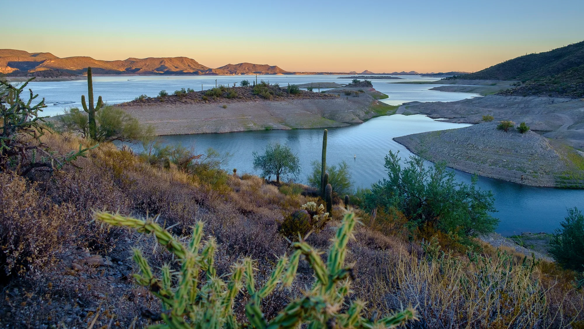
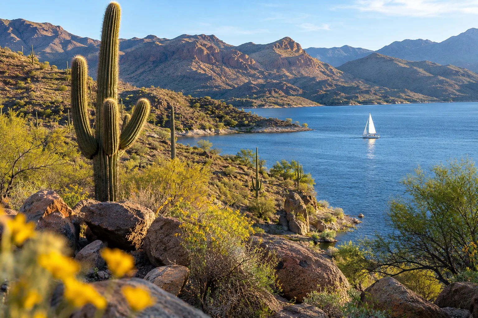
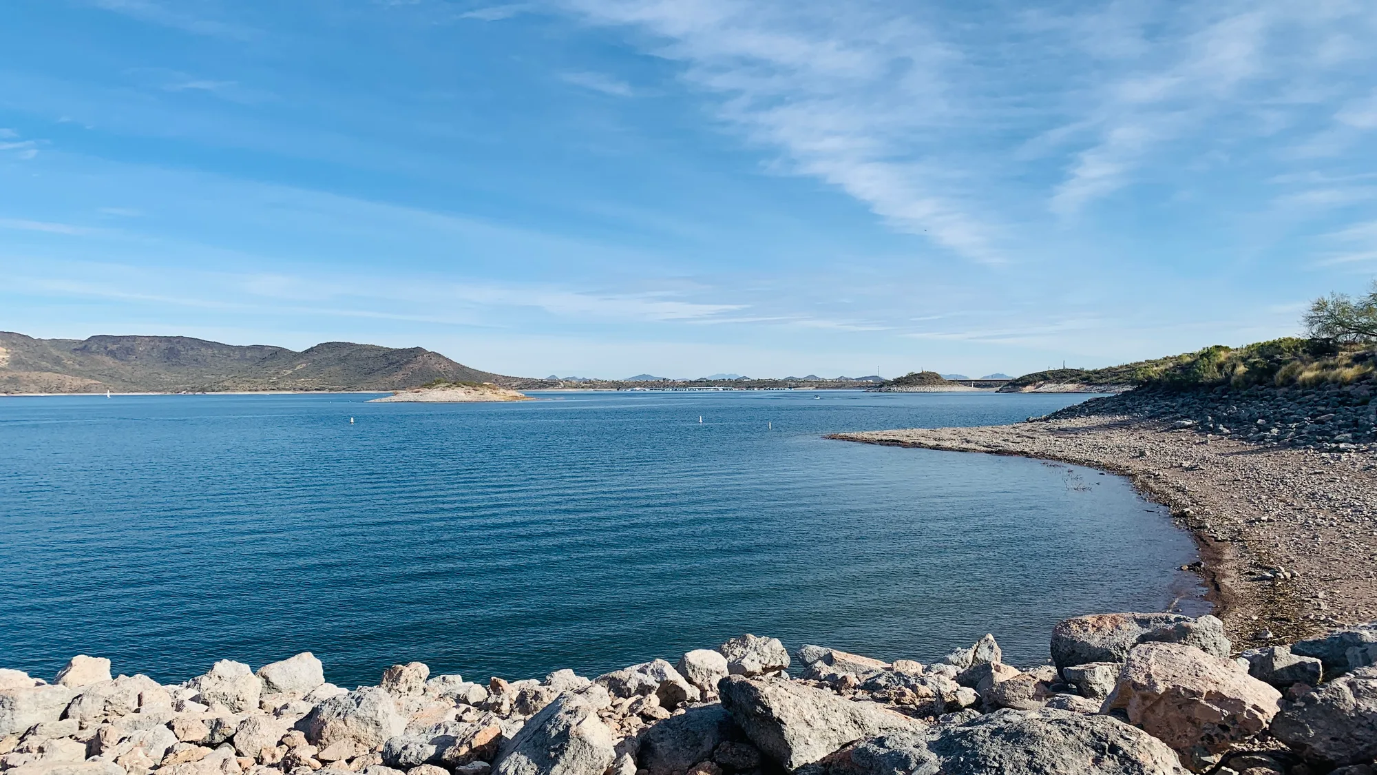
At the city's northern edge, Lake Pleasant Regional Park has been part of Peoria since 1996, although Maricopa County operates it. Its 23,362 acres take in camping, boating, fishing and hiking. The lake usually sits at its lowest in October and November. The county has closed the park's Pipeline Trailhead from November 10, 2026 through March 10, 2027, so check its alerts before planning a hike from that side.
Staying safe in every season
The city posts a heat warning for its trails from April through October. Its guidance is to hike in the early morning or evening and to turn around before half your water is gone, planning a third of your water for the way in, a third for the way out and a third for the unexpected. It also lists the warning signs of heat exhaustion, including dizziness, heavy sweating, clammy skin and nausea. Trails and trailheads are open from sunrise to sunset.
The rules are short. Dogs stay on a leash no longer than six feet, and owners pick up after them. Motorized vehicles are prohibited on trails, and so are alcohol and glass at trails, trailheads and parking areas. Keep right, pass on the left, yield, and leave plants and wildlife alone.
Peoria's park rangers patrol the parks and trails, take calls on a ranger hotline and run outdoor classes each fall and spring. This season's list includes Intro to Hiking on November 14, orienteering for beginners on November 21, a Neon Night Hike on November 27 and introductory fly fishing in December.
Maps and trail conditions
The city's interactive trails map lets you switch on layers for parks, bike lanes and transit, and its hiking page links a PDF map for each mountain preserve along with the multi-use path map. Closures and reopenings after storms go out through the city newsroom, and Lake Pleasant's alerts are on the Maricopa County Parks site.
Pick one park close to home and one trail a little farther out, and you have a winter's worth of mornings.
Sources and further reading 12
- City of Peoria: peoriaaz.gov/government/departments/parks-and-recreation/parks-and-trails/park-rangerschecked November 7, 2026 · More than 30 parks and over 20 miles of trails; park rangers enforce rules, ranger hotline, outdoor programs in fall and spring.
- City of Peoria: peoriaaz.gov/government/departments/parks-recreation-and-community-facilities/parks-and-trails/hiking-trailschecked November 7, 2026 · Multi-use trails along New River and 5.7 miles along Skunk Creek from Rio Vista to 51st Ave in Glendale; 30.8 miles of mountain hiking trails; preserves and trailhead addresses; trail hours sunrise to sunset; trail rules (leash six feet, no motorized vehicles, no alcohol or glass); e-bike 28 mph rule; heat warning April-October and hiking guidance; trail difficulty ratings; PDF maps.
- City of Peoria: peoriaaz.gov/government/departments/parks-recreation-and-community-facilities/parks-and-trails/rio-vista-community-parkchecked November 7, 2026 · Rio Vista Community Park: 52 acres at 8866 W Thunderbird Rd west of Loop 101; 2.5-acre urban lake, walk/jog path, orienteering and pacing course, skate park, sand volleyball, StoryWalk, Veterans Memorial; fishing license required for ages 10 and older.
- City of Peoria: peoriaaz.gov/government/departments/parks-recreation-and-community-facilities/parks-and-trails/pioneer-community-parkchecked November 7, 2026 · Pioneer Community Park: 83 acres near 83rd Ave and Olive Ave; 5-acre lake, dog park, ball fields, shaded playground; public art Forge by Thomas Sayre visible from 83rd Ave.
- City of Peoria: peoriaaz.gov/government/departments/parks-recreation-and-community-facilities/parks-and-trails/paloma-community-parkchecked November 7, 2026 · Paloma Community Park opened October 3, 2020; 85 acres at Lake Pleasant Pkwy and Dixileta Dr; fishing lake and deck, lighted pickleball, lighted dog park, inclusive-designed playground, overlook plaza.
- Foothills Sports Medicine Physical Therapy: foothillsrehab.com/location/peoria/checked November 7, 2026 · Peoria clinic at 9069 W Olive Ave, near 91st Ave and Olive; open gym space and two private treatment rooms.
- City of Peoria: peoriaaz.gov/Home/Components/News/News/8389/439Published November 3, 2026 · checked November 7, 2026 · Storm closures: lower New River Trail sections beneath Thunderbird Rd and at Grand Ave underwater and closed; upper terrace from Thunderbird north to Jomax open; Skunk Creek Trail open but 83rd Ave trailhead closed for mud; safety precautions.
- Bikers Edge Cycle & Fitness: bikersedgeaz.comchecked November 7, 2026 · Bike shop at 10545 N 83rd Ave; flat repair and tune-ups.
- City of Peoria: peoriaaz.gov/government/departments/arts-culture/historic-preservation/peorias-history/timeline-late-1970s-to-1990schecked November 7, 2026 · Lake Pleasant Regional Park at the city's northern edge, part of the Maricopa County park system, became part of Peoria in 1996.
- Maricopa County Parks and Recreation: maricopacountyparks.net/park-locator/lake-pleasant-regional-park/checked November 7, 2026 · Lake Pleasant Regional Park: 23,362 acres; camping, boating, fishing, hiking; water lowest in October/November; Pipeline Trailhead closed November 10, 2026 to March 10, 2027.
- City of Peoria: peoriaaz.gov/Home/Components/News/News/8353/439Published October 26, 2026 · checked November 7, 2026 · Peoria Outdoors classes: Intro to Hiking November 14, Orienteering for Beginners November 21, Neon Night Hike November 27, Introduction to Fly Fishing December 12 and 18.
- City of Peoria: peoriaaz.gov/government/departments/parks-recreation-and-community-facilities/parks-and-trails/trails-mapchecked November 7, 2026 · Interactive trails map with layers for parks, bike lanes and transit routes.