Summits, Washes and Canal Banks: A Guide to Phoenix's Preserves, Trails and Paths
From South Mountain's hundred-plus miles of trail to Camelback's scrambles, the canal paths and the Rio Salado wetlands, here is where Phoenix gets outside, and the city's own rules for doing it safely in the heat.
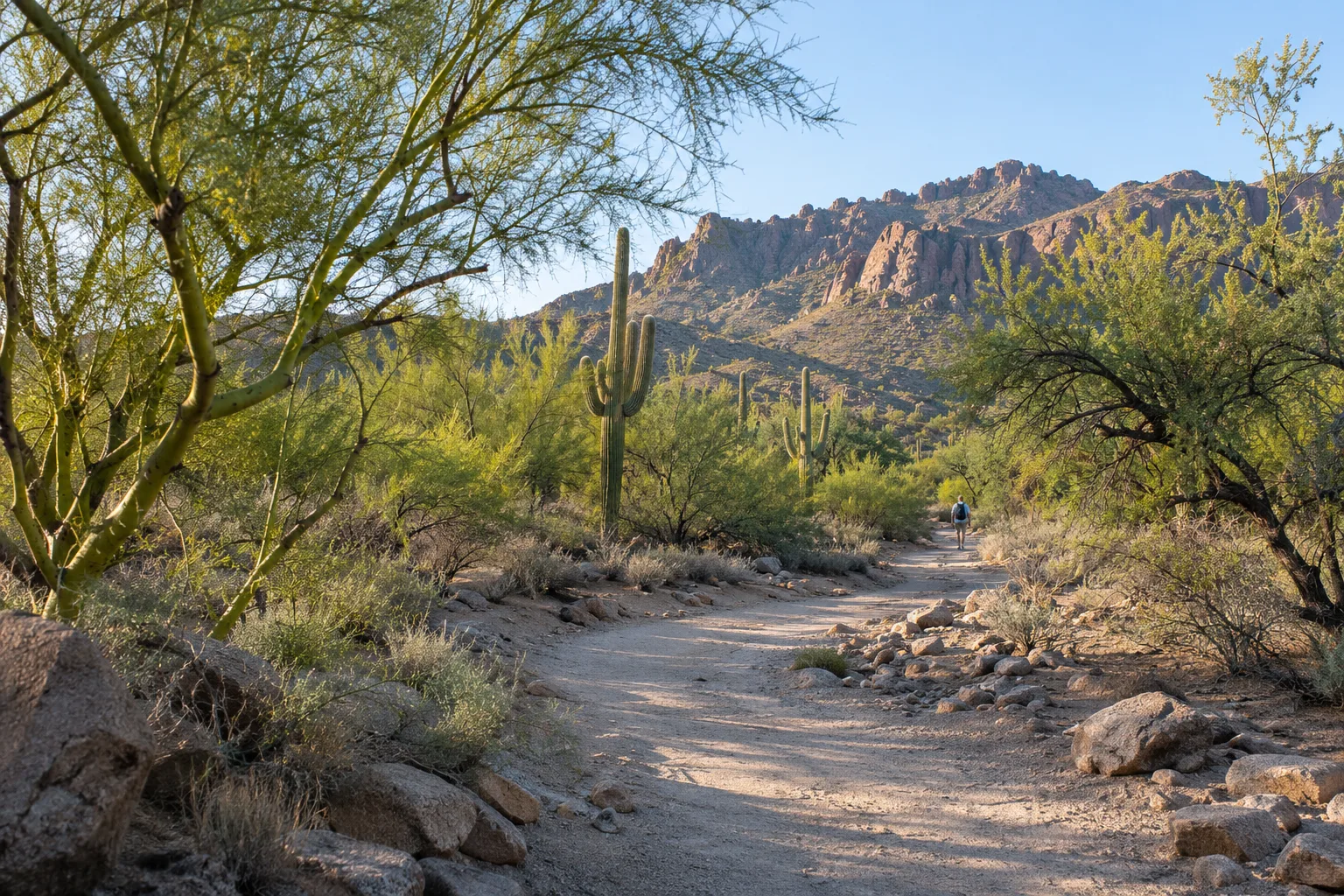
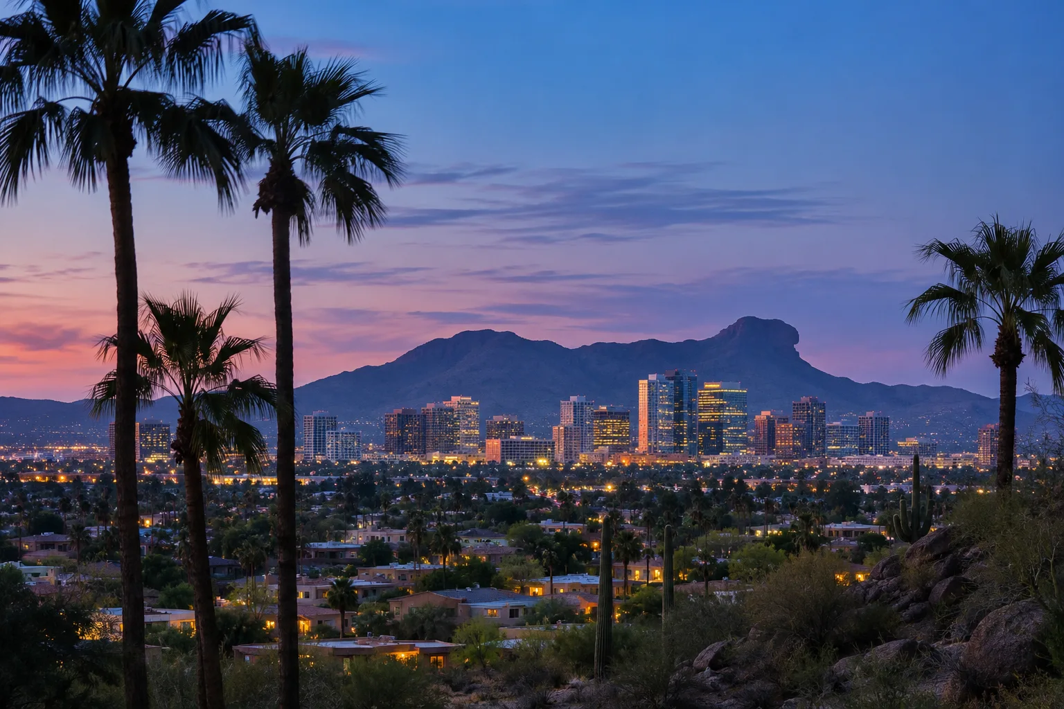
Phoenix is a city with mountains inside its limits. The parks department counts more than 41,000 acres of desert parks and mountain preserves and more than 200 miles of trails, from South Mountain on the city's southern edge to the foothills of north Phoenix. Here is a tour of the major places, followed by the city's own advice for using them well.
South Mountain Park and Preserve
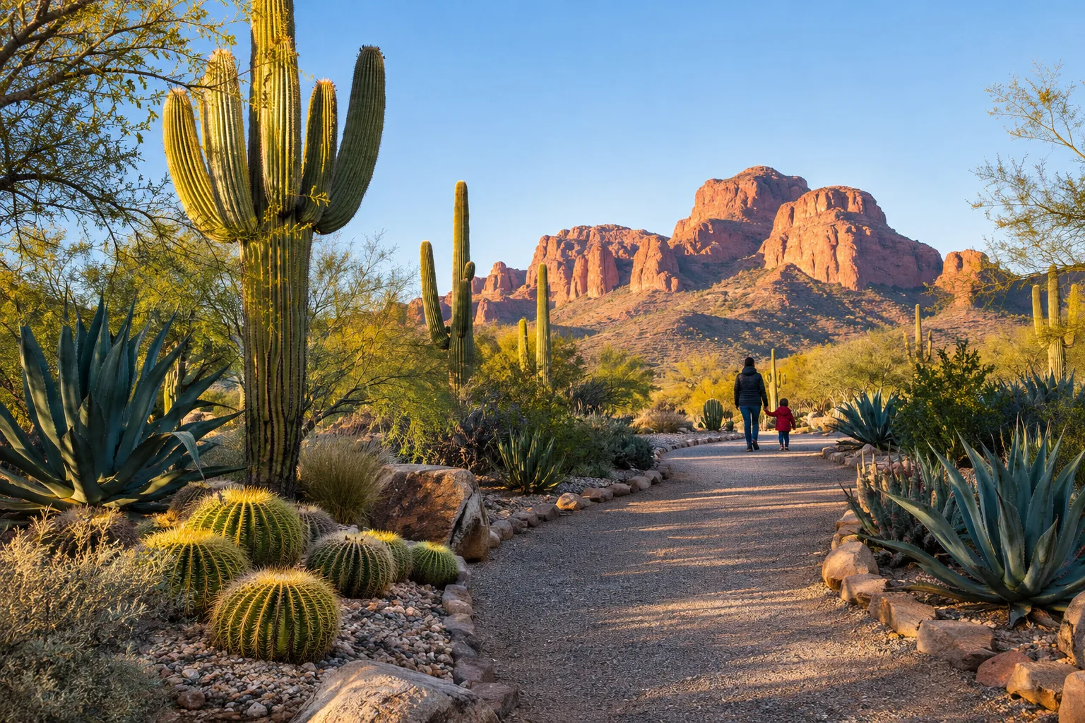
The city bought the first 13,000 acres of South Mountain in 1924, and the park celebrated its centennial in 2024. Today it covers more than 16,000 acres across the Ma Ha Tauk, Gila and Guadalupe ranges, which the city describes as one of the largest municipally managed parks in the nation, with more than 100 miles of trails for hikers, horseback riders and mountain bikers. Dobbins Lookout, at 2,330 feet the highest point open to the public, can be reached by trail or by Summit Road, and on designated Sundays the main road is closed to cars so walkers, runners and cyclists can have it to themselves. Hikers interested in history can look for petroglyphs along the Mormon Trail; first-timers will find the one-mile Kiwanis Trail a gentler start.
Camelback Mountain
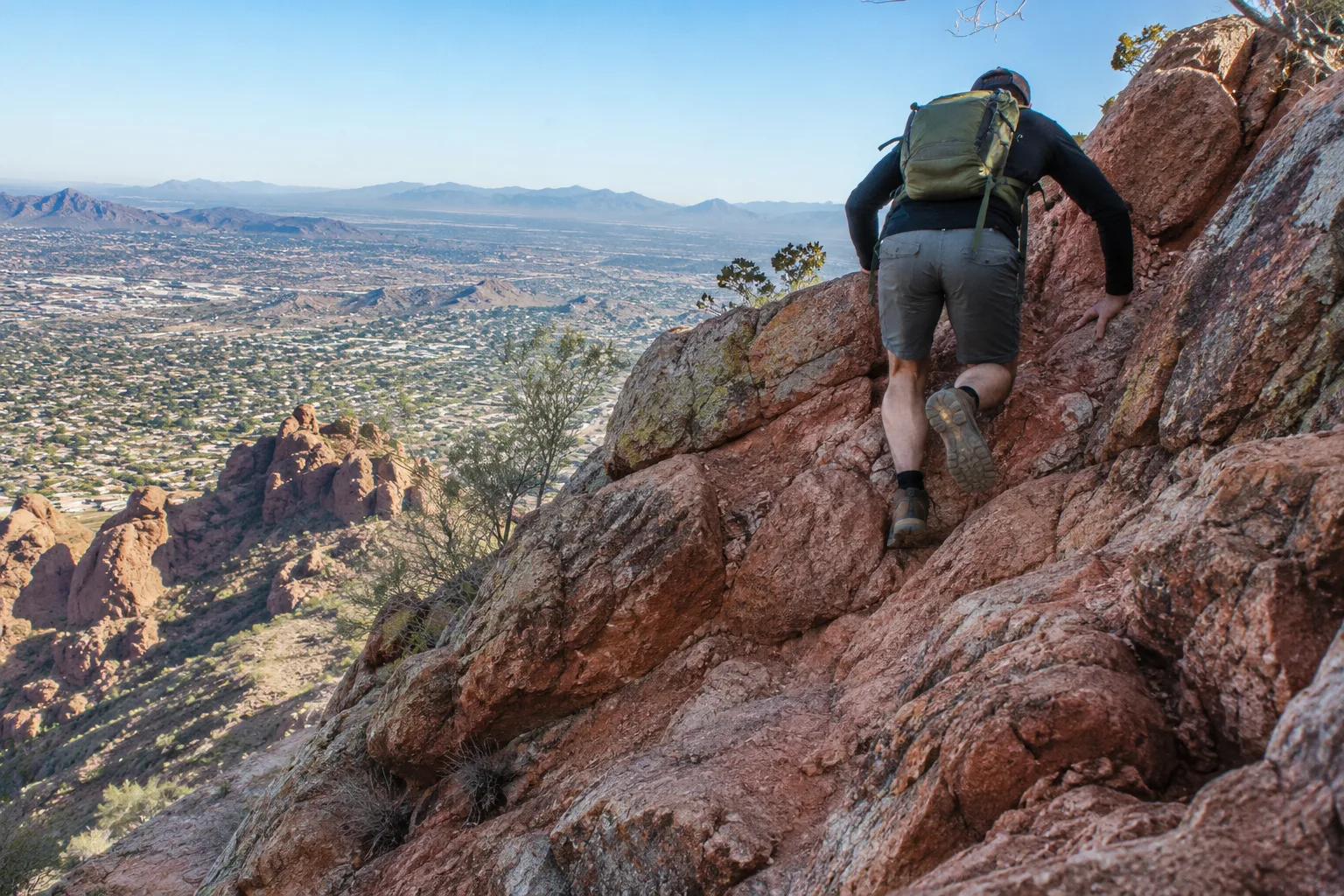
Camelback's two summit routes, Echo Canyon and Cholla, are among the best-known hikes in the Valley, and Visit Phoenix rates both extremely difficult. Each is roughly two and a half miles out and back, climbing about 1,420 feet over exposed rock, with hand-over-hand scrambling near the top. Dogs are not allowed in either trail area, and the trailhead lots fill early on weekends.
Piestewa Peak and the Phoenix Mountains Preserve
Piestewa Peak rises to 2,608 feet in the Phoenix Mountains Preserve. Its Summit Trail climbs about 1,200 feet in roughly 1.2 miles each way over steep, rocky switchbacks, and the city rates it extremely difficult; dogs are prohibited on it year-round. The surrounding trail network, reached from the Dreamy Draw Recreation Area and other trailheads, has gentler options, including a nature trail that skirts a wash known for wildlife and spring wildflowers.
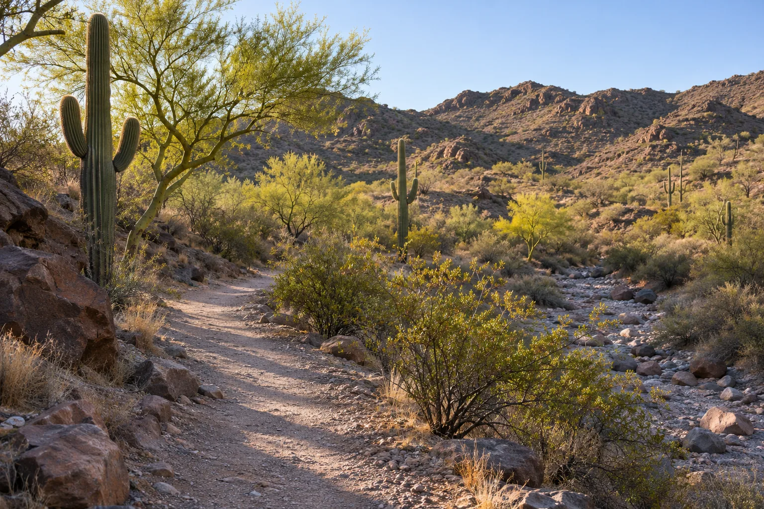
Farther northwest in the same preserve, North Mountain and Shaw Butte offer trails for hikers of all abilities and a volunteer-run visitor center. North Mountain Park itself closes for renovation from December 2026 into early 2028; the visitor center and the preserve's other trailheads stay open.
Papago Park's Hole-in-the-Rock
For the shortest climb with a payoff, Papago Park's Hole-in-the-Rock Trail runs about a fifth of a mile around a sandstone butte to a wind-carved opening that frames the city. The park's wide Crosscut Canal Trail, about a mile and a half long, suits walkers, runners and cyclists alike.
North Phoenix: the Sonoran Preserve and Reach 11
In the far north, the Sonoran Preserve protects more than 9,600 acres, with 36 miles of trails reached from three trailheads. To the east, the 1,500-acre Reach 11 Recreation Area runs about seven miles along the north side of the Central Arizona Project canal, with 18 miles of multi-use trails and ranger-led hikes.
Canal paths and the river
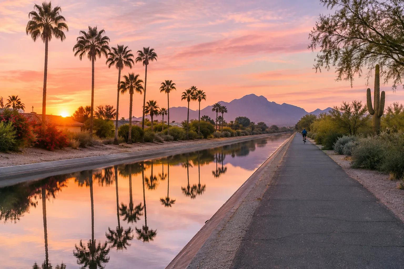
Salt River Project and its city partners have built more than 80 miles of trails along the Valley's canals since 1964. They are open to walkers, runners and pedal bikes; motor vehicles, swimming and camping are not allowed. The Arizona Canal path passes Arizona Falls, and the Grand Canalscape turned about 12 miles of Grand Canal banks between Interstate 17 and the Tempe border into a lighted, landscaped path with new crossings, shade structures and connections to surrounding neighborhoods. SRP's safety advice is simple: keep children and pets away from the water's edge, and never jump in after someone; call 911.
Along the old course of the Salt River, the Rio Salado Habitat Restoration Area is bringing back the wetland and streamside habitat of a river that once flowed year-round through Phoenix. Its paved and natural trails are mostly smooth and level, birders come for the migrating species, and the Nina Mason Pulliam Rio Salado Audubon Center sits on site.
Take a Hike. Do it Right.
The city's safety program comes down to a short checklist:
- Watch the weather, and hike in the cooler hours of early morning or evening.
- Dress for the desert, with sturdy shoes, a hat and sunscreen.
- Bring more water than you think you'll need, and turn back before it's gone.
- Carry a phone.
- Hike with a partner, or tell someone your route and when you expect to return.
- Be honest about your limits.
- Stay on designated trails.
- Take responsibility for coming prepared.
Heat brings its own rules. Under the Trail Heat Safety Program, created by the Parks and Recreation Board in 2021, Echo Canyon and Cholla, the Piestewa Peak Summit Trail and its connecting trails, and several South Mountain routes are restricted from 8 a.m. to 5 p.m. on days the National Weather Service issues an Extreme Heat Warning. At South Mountain, those are the Holbert, Mormon and Hau'pal Loop trails and National Trail access from the Pima Canyon trailhead. The city emails restriction updates to anyone who signs up. Year-round, dogs must be on a leash six feet or shorter, and they are not allowed on city trails when temperatures pass 100 degrees.
Follow those rules and the reward is the one that keeps Phoenix hikers coming back: a quiet ridge in the early light and the whole city spread out below.
Sources and further reading 18
- City of Phoenix Parks and Recreation: phoenix.gov/administration/departments/parks/activities-facilities/trails.htmlchecked November 5, 2026 · More than 41,000 acres of desert parks and mountain preserves and 200-plus miles of trails; dog rules: leash 6 feet or shorter, no dogs on trails above 100 degrees F; list of preserves; North Mountain Park closure December 2026 through early 2028.
- City of Phoenix Parks and Recreation: phoenix.gov/administration/departments/parks/activities-facilities/trails/south-mountain-parkpreserve.htmlchecked November 5, 2026 · City bought 13,000 acres in 1924, park turned 100 in 2024; more than 16,000 acres; one of the largest municipally managed parks in the nation; Ma Ha Tauk, Gila and Guadalupe ranges; 100+ miles of trails for hiking, horseback riding, mountain biking; Dobbins Lookout 2,330 feet via trail or Summit Road; Silent Sunday road closures; current hours.
- City of Phoenix Parks and Recreation: phoenix.gov/administration/departments/parks/activities-facilities/trails/south-mountain-parkpreserve/south-mountain-trails.htmlchecked November 5, 2026 · Petroglyphs along the Mormon Trail; Kiwanis Trail 1.0 mile, an introduction to desert hiking.
- Visit Phoenix: visitphoenix.com/sonoran-desert/parks/camelback-mountain/checked November 5, 2026 · Echo Canyon (2.5 mi) and Cholla (2.6 mi) out-and-back, both rated extremely difficult, exposed rock and hand-over-hand climbing; trails ascend 1,420 feet; dogs prohibited at Echo Canyon and Cholla trail areas; lots full early on weekends.
- City of Phoenix Parks and Recreation: phoenix.gov/administration/departments/parks/activities-facilities/trails/camelback-mountain.htmlchecked November 5, 2026 · Venomous rattlesnakes regularly seen on Camelback; trailhead amenities; current hours.
- City of Phoenix Parks and Recreation: phoenix.gov/administration/departments/parks/activities-facilities/trails/piestewa-peak-dreamy-draw.htmlchecked November 5, 2026 · Piestewa Peak 2,608 feet; dogs prohibited year-round on the Summit Trail; Dreamy Draw Recreation Area as a gateway; current hours.
- City of Phoenix Parks and Recreation: phoenix.gov/administration/departments/parks/activities-facilities/trails/piestewa-peak-dreamy-draw/piestewa-trails.htmlchecked November 5, 2026 · Summit Trail extremely difficult, about 1.2 miles one way, 1,200 feet gain over steep rocky switchbacks; Piestewa Peak Nature Trail skirts a wash known for wildlife and spring wildflowers.
- City of Phoenix Parks and Recreation: phoenix.gov/administration/departments/parks/activities-facilities/trails/north-mountain.htmlchecked November 5, 2026 · North Mountain (2,104 ft) and Shaw Butte (2,149 ft), trails for all abilities; volunteer-run North Mountain Visitor Center; North Mountain Park closed December 2026 through early 2028 for renovations, visitor center and other Phoenix Mountains Preserve trailheads remain open.
- City of Phoenix Parks and Recreation: phoenix.gov/administration/departments/parks/activities-facilities/trails/papago-park.htmlchecked November 5, 2026 · Hole-in-the-Rock Trail 0.2 mile, easy, to a wind-eroded opening overlooking the metro area; sandstone buttes.
- City of Phoenix Parks and Recreation: phoenix.gov/administration/departments/parks/activities-facilities/trails/papago-park/papago-trails.htmlchecked November 5, 2026 · Crosscut Canal Trail 1.4 miles, a wide canal bank trail suiting many types of users.
- City of Phoenix Parks and Recreation: phoenix.gov/administration/departments/parks/activities-facilities/trails/sonoran-preserve.htmlchecked November 5, 2026 · Sonoran Preserve in north Phoenix: more than 9,600 acres, three trailheads, 36 miles of trails.
- City of Phoenix Parks and Recreation: phoenix.gov/administration/departments/parks/activities-facilities/trails/reach-11-recreation-area.htmlchecked November 5, 2026 · Reach 11: 1,500-acre district park along the north side of the CAP canal, about seven miles long, 18 miles of multi-use trails, ranger-led hikes.
- Salt River Project: srpnet.com/grid-water-management/water-recreation/canal-trailschecked November 5, 2026 · Over 80 miles of canal trails developed by SRP and city partners since 1964; Arizona Canal and Arizona Falls; Grand Canalscape; running, walking, biking allowed; no motor vehicles, swimming, camping or fires; safety: stay away from the water's edge, call 911 and never jump in; free except special events.
- Salt River Project: media.srpnet.com/phoenix-srp-to-celebrate-grand-canalscape-opening/Published February 13, 2020 · checked November 5, 2026 · Grand Canalscape: 12-mile multi-use trail from I-17 to the Tempe border; lighting, landscaping, pedestrian bridges, new signals, artist-designed shade structures, 17 neighborhood connections.
- City of Phoenix Parks and Recreation: phoenix.gov/administration/departments/parks/activities-facilities/trails/rio-salado-habitat-restoration-area.htmlchecked November 5, 2026 · Restores native wetland and riparian habitat of the historic Salt River, which once flowed year-round; paved and natural trails, mostly smooth with minimal elevation change; popular with birders; Nina Mason Pulliam Rio Salado Audubon Center on site; South Bank Trail currently closed.
- City of Phoenix Parks and Recreation: phoenix.gov/administration/departments/parks/activities-facilities/trails/take-a-hike-do-it-right.htmlchecked November 5, 2026 · Take a Hike. Do it Right. checklist: Watch the Weather, Dress Appropriately, Bring Water, Keep In Contact, Team Up, Be Honest, Don't Trailblaze, Take Responsibility.
- City of Phoenix Parks and Recreation: phoenix.gov/administration/departments/parks/activities-facilities/trails/heat-safety.htmlchecked November 5, 2026 · Trail Heat Safety Program created by the Parks and Recreation Board in 2021; restrictions 8 a.m. to 5 p.m. on National Weather Service Extreme Heat Warning days on Echo Canyon, Cholla, Piestewa Peak Summit and associated trails, and South Mountain's Holbert, Mormon, Hau'pal Loop trails and National Trail access from Pima Canyon; email updates sign-up.
- City of Phoenix: phoenix.gov/newsroom/parks-news/phoenix-updates-trail-heat-safety-program-ahead-of-summer--what-.htmlPublished April 7, 2025 · checked November 5, 2026 · Board approved adding three South Mountain trails on March 27, 2025; 8 a.m. to 5 p.m. restriction hours; hike early, bring extra water, tell someone your route.