Phoenix, one neighborhood at a time: a guide to the city's districts and urban villages
From Roosevelt Row's murals to Laveen's farm roads, Phoenix is a collection of places with their own rhythms. Here's how the districts differ, how people get around and where neighbors meet.
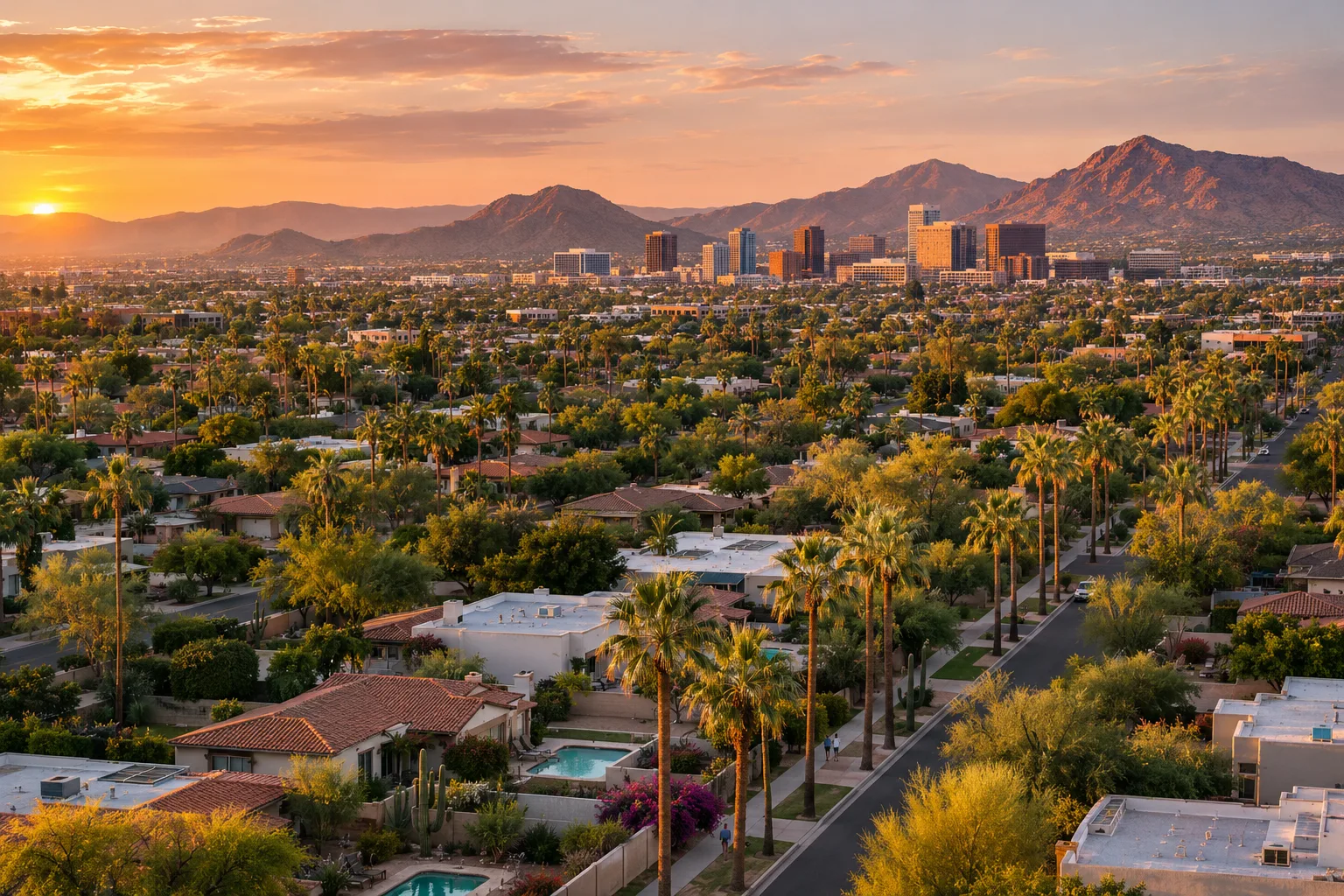
Ask someone in Phoenix where they live and you rarely get a one-word answer. People name a district, a cross street or the mountain they can see from the backyard. The city thinks in pieces too: for planning, Phoenix is divided into 15 urban villages, each with a Village Planning Committee appointed by the mayor and City Council to advise on how that part of the city grows. Village names overlap with, but don't always match, the neighborhood names people use. Here is a tour through both.
The urban core: Downtown and Roosevelt Row
Downtown is the heart of Central City Village, which the city describes as the one village whose core is the urban center of the whole city. Government, business and cultural buildings share the area with some of Phoenix's oldest neighborhoods, several of them designated historic districts.
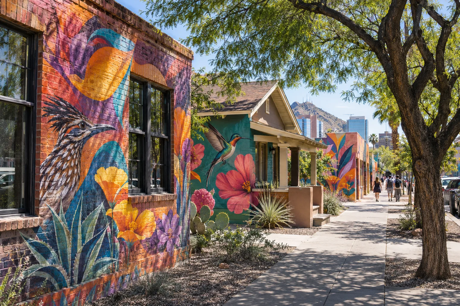
Just north of the office towers, Roosevelt Row is downtown's walkable arts district, where galleries, small shops, restaurants and murals by local artists fill the blocks. Neighbors gather for the monthly First Fridays art walk and annual events such as the Pie Social and Phoestivus.
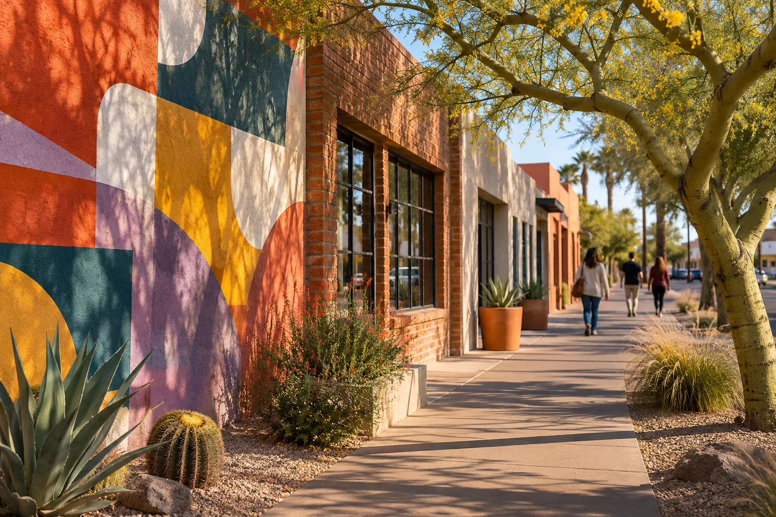
This is also the easiest part of the city to explore without a car. Since June 2025, light rail has run as two lines that meet at a Downtown Hub, and the newer B Line now continues south along Central Avenue all the way to Baseline Road.
Central Phoenix, the historic districts and Melrose
North of downtown, Central Avenue is the city's spine. The city's Encanto Village page describes an art walk linking the Heard Museum, the Phoenix Art Museum, the Phoenix Theatre and the Central Library.
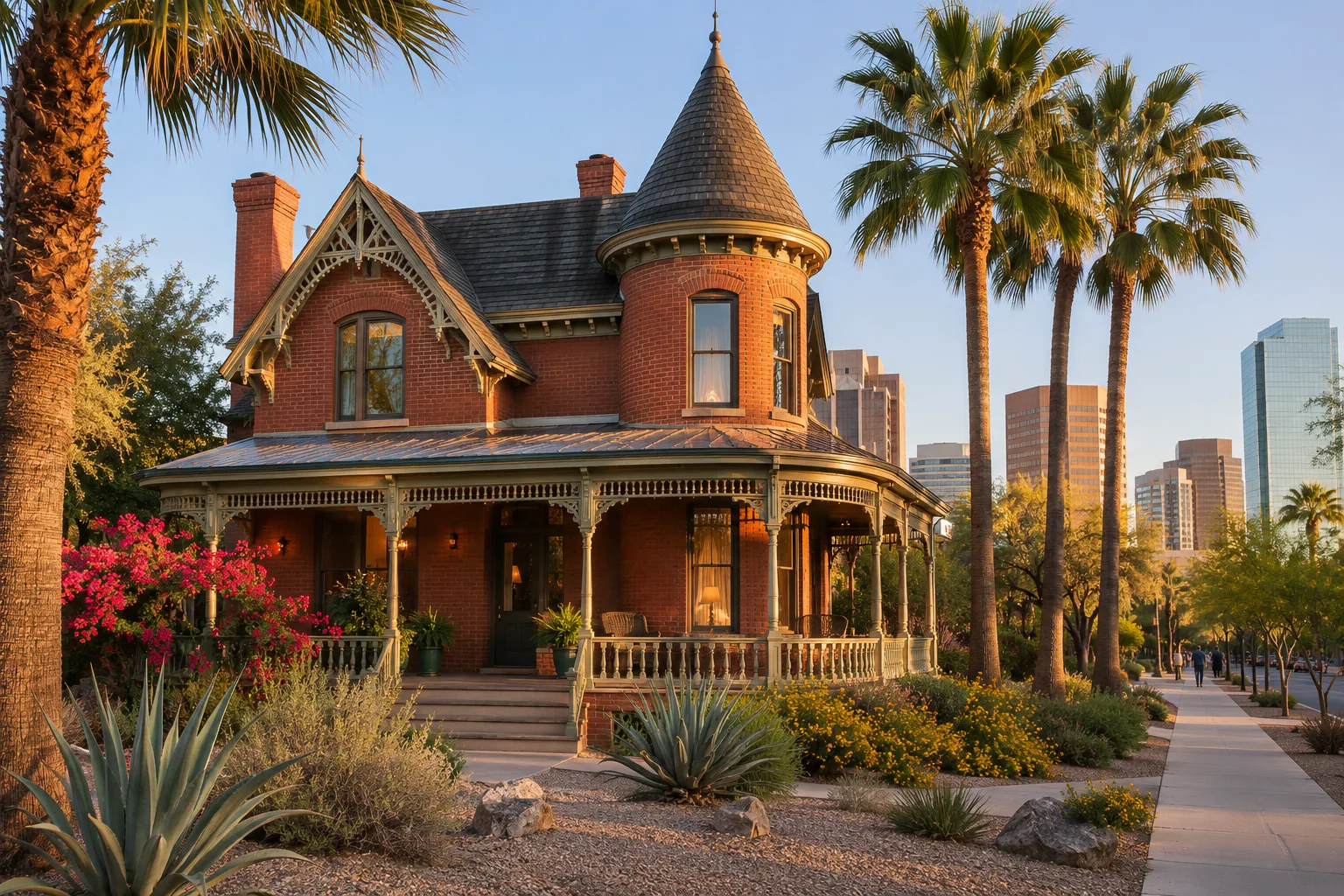
West of Central, Willo and Encanto-Palmcroft are protected historic districts on the city's historic property register, with homes dating from roughly the 1910s through the early 1950s. Both sit beside Encanto Park, a 222-acre city park with a pool, two golf courses, sports fields and urban fishing.
A few minutes away, the Melrose District runs along Seventh Avenue, known for vintage shopping and LGBTQ+ nightlife. Its landmark is a bend in the road locals call the Melrose Curve. As KJZZ reported, Seventh Avenue was built in 1871 and drifted west of its planned line; later fixes softened the jog into today's curve.
Arcadia, Sunnyslope and North Mountain
Arcadia lies between the Arizona Canal and Camelback Mountain on land once planted with citrus. Its original subdivision was recorded in 1919, and many yards still have fruit trees. Restaurants and bars fill older buildings given new uses, and the canal makes an easy bike ride.
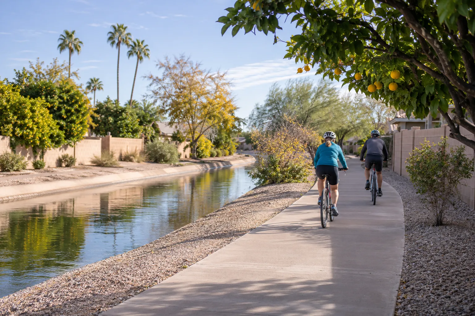
Sunnyslope, below the North Mountain range, has a small-town story of its own. William R. Norton platted its first subdivision in 1911, and newcomers from back east later settled in the dry desert north of the canal hoping to regain their health. The Sunnyslope Historical Society keeps that history in a community museum and archive.
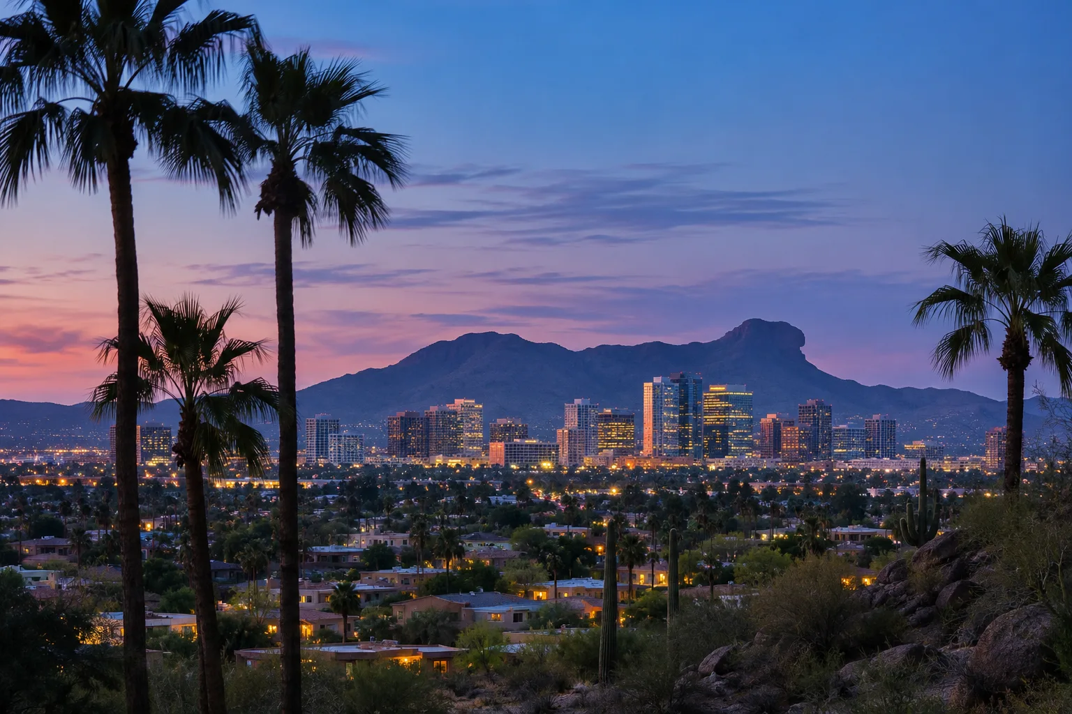
The wider North Mountain Village mixes older central neighborhoods, foothill homes and suburban streets, with canal paths and direct access to the Phoenix Mountains Preserve. North Mountain and Shaw Butte, both topping 2,100 feet, anchor the north skyline. North Mountain Park itself closes for renovations from December 2026 into early 2028, while the North Mountain Visitor Center and other preserve trailheads stay open.
Maryvale, Laveen and South Mountain Village
Maryvale is a post-war story. Developer John F. Long named it after his wife, and it opened in 1955 as Arizona's first planned community, with ranch houses, schools, shopping and recreation planned together. The city notes the village still holds many planned neighborhoods from that era, along with two spring training ballparks.
Laveen, between South Mountain and the Salt River, holds onto its agricultural roots. The city describes a place long valued by farmers and equestrians, with a rural character that has carried through its growth.
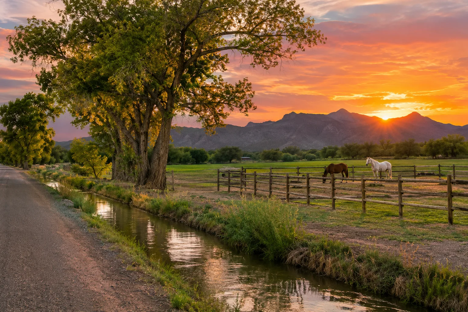
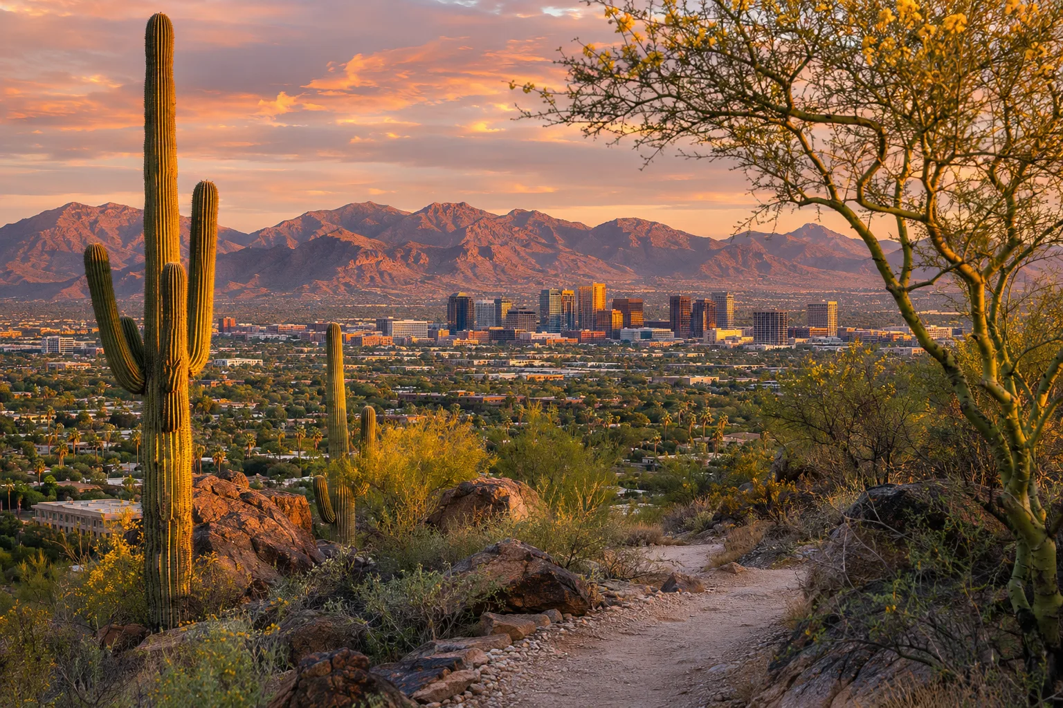
South Mountain Village is marked by variety: many cultures and languages, farm fields and desert, historic and custom homes, horse properties and South Mountain Park/Preserve. At more than 16,000 acres, with more than 100 miles of trails across three mountain ranges, the park is one of the largest city-managed parks in the country. The new light rail stations along Central Avenue now link South Phoenix directly to downtown.
Ahwatukee and Desert Ridge
Ahwatukee Foothills sits on the far side of South Mountain, stretching south to Pecos Road with I-10 along its eastern edge. The city describes quiet, low-rise, master-planned neighborhoods built around hiking, biking, parks and golf. The name has its own history: a 1921 estate called Casa de Sueños was renamed Ahwatukee by a later owner in 1935, and the word's meaning is still debated.
At the city's northern edge, Desert Ridge forms the busier core of Desert View Village along Loop 101, where shopping, offices and master-planned communities give way to large lots, horse properties and dark-sky areas farther north. The Musical Instrument Museum sits nearby, just south of the freeway.
Finding your corner
The best way to learn Phoenix is the way neighbors do: a First Friday on Roosevelt Row, a morning on a South Mountain trail, an afternoon of browsing on Seventh Avenue, a canal ride through Arcadia. Every village planning committee also meets in public, open to anyone curious about how their corner of the city is changing.
Sources and further reading 25
- City of Phoenix Planning & Development: phoenix.gov/administration/departments/pdd/planning-zoning/villages.htmlchecked November 5, 2026 · Phoenix is divided into 15 urban villages; each has a Village Planning Committee appointed by the Mayor and City Council that advises the Planning Commission; list of village names.
- City of Phoenix Planning & Development: phoenix.gov/administration/departments/pdd/planning-zoning/villages/central-city-village.htmlchecked November 5, 2026 · Central City Village's core is downtown, the urban center of the whole city; government, business and cultural facilities; oldest neighborhoods, some designated historic districts.
- Visit Phoenix: visitphoenix.com/greater-phoenix/phoenix/downtown-phoenix/roosevelt-row/checked November 5, 2026 · Roosevelt Row as downtown's walkable arts district with galleries, restaurants, shops and street art by local artists; monthly First Fridays Art Walk; annual Phoestivus and Pie Social.
- City of Phoenix: phoenix.gov/newsroom/public-transit-news/south-central-downtown-hub-light-rail-extension-opens-june-7--.htmlchecked November 5, 2026 · Two-line rail system: A Line and B Line meeting at the Downtown Hub; B Line runs to Baseline Road/Central Avenue; 5.5-mile extension along Central and 1st avenues.
- City of Phoenix: phoenix.gov/newsroom/public-transit-news/phoenix-celebrates-opening-of-south-central-extension-downtown-h.htmlPublished June 7, 2025 · checked November 5, 2026 · Extension opened, making Valley Metro Rail a multi-line operation and connecting South Phoenix; publishedOn taken from the June 7 opening the page celebrates (no date printed on the page).
- City of Phoenix Planning & Development: phoenix.gov/administration/departments/pdd/planning-zoning/villages/encanto.htmlchecked November 5, 2026 · Encanto Village core and Central Avenue Corridor; Art Walk linking the Heard Museum, Phoenix Art Museum, Phoenix Theater and Central Library.
- City of Phoenix Historic Preservation Office: phoenix.gov/administration/departments/pdd/historic-preservation/phoenix-historic-property-register/residential-historic-districts.htmlchecked November 5, 2026 · Willo (listed July 1990, period of significance 1910-1950) and Encanto-Palmcroft (listed March 1987, period of significance 1920-1952) residential historic districts and their boundaries next to Encanto Park.
- City of Phoenix Parks and Recreation: phoenix.gov/administration/departments/parks/activities-facilities/city-parks/encanto-park.htmlchecked November 5, 2026 · Encanto Park is 222 acres; pool, Encanto 18 and Encanto 9 golf courses, sports fields, urban fishing.
- Visit Phoenix: visitphoenix.com/greater-phoenix/phoenix/checked November 5, 2026 · Vintage shopping and LGBTQ+ nightlife in the Melrose District; restaurants and bars in adaptively reused buildings in midtown and Arcadia; biking along the canal; Camelback Mountain.
- KJZZ: kjzz.org/2023-09-27/content-1858687-qaz-why-seventh-avenue-curved-between-mcdowell-and-camelback-roadsPublished September 27, 2023 · checked November 5, 2026 · The Melrose District curve on Seventh Avenue results from misalignment; road built in 1871 leaned west of its section line; later adjustments.
- PHOENIX magazine: phoenixmag.comPublished May 1, 2012 · checked November 5, 2026 · Arcadia lies between the Arizona Canal and Camelback Mountain; once citrus groves; many homes still have fruit trees.
- Arcadia Camelback Mountain Neighborhood Association: acmna-build.squarespace.com/arcadia-historychecked November 5, 2026 · Original Arcadia development recorded in December 1919 (Citrus Homes tract recorded 1915).
- Sunnyslope Historical Society & Museum: sunnyslopehistoricalsociety.org/brief-history-of-sunnyslope/checked November 5, 2026 · William R. Norton platted the first Sunny Slope subdivision in 1911; boundaries reach the North Mountain range; people from eastern states came to the dry desert north of the Arizona Canal for their health.
- Sunnyslope Historical Society & Museum: sunnyslopehistoricalsociety.org/about-us/checked November 5, 2026 · The Society operates a community museum and archive and a research library.
- City of Phoenix Planning & Development: phoenix.gov/administration/departments/pdd/planning-zoning/villages/north-mountain.htmlchecked November 5, 2026 · North Mountain Village mix of central-corridor, foothill and suburban neighborhoods near the Metrocenter core; canal paths; access to the Phoenix Mountains Preserve.
- City of Phoenix Parks and Recreation: phoenix.gov/administration/departments/parks/activities-facilities/trails/north-mountain.htmlchecked November 5, 2026 · North Mountain (2,104 ft) and Shaw Butte (2,149 ft); North Mountain Park closed December 2026 through early 2028 for renovations, North Mountain Visitor Center and other trailheads remain open.
- ABC15 Arizona: abc15.com/news/local-news/how-maryvale-neighborhood-once-epitomized-the-american-dreamPublished June 2, 2022 · checked November 5, 2026 · Maryvale opened in 1955 as Arizona's first planned community; John F. Long named it after his wife; affordable ranch houses, schools within walking distance, open-air mall and recreation.
- City of Phoenix Planning & Development: phoenix.gov/administration/departments/pdd/planning-zoning/villages/maryvale.htmlchecked November 5, 2026 · Maryvale Village contains many planned neighborhoods from the post-war housing boom onward; two major league spring training facilities.
- City of Phoenix Planning & Development: phoenix.gov/administration/departments/pdd/planning-zoning/villages/laveen.htmlchecked November 5, 2026 · Laveen Village between South Mountain and the Salt River; agricultural heritage; valued by farmers, equestrians and those seeking mountain access; rural character maintained through growth.
- City of Phoenix Planning & Development: phoenix.gov/administration/departments/pdd/planning-zoning/villages/south-mountain.htmlchecked November 5, 2026 · South Mountain Village's diversity of ethnicities, languages and cultures; farm fields, desert, historic and custom homes, horse properties and South Mountain Park.
- City of Phoenix Parks and Recreation: phoenix.gov/administration/departments/parks/activities-facilities/trails/south-mountain-parkpreserve.htmlchecked November 5, 2026 · South Mountain Park/Preserve: more than 16,000 acres, one of the largest municipally managed parks in the nation, three mountain ranges, more than 100 miles of trails.
- City of Phoenix Planning & Development: phoenix.gov/administration/departments/pdd/planning-zoning/villages/ahwatukee-foothills.htmlchecked November 5, 2026 · Ahwatukee Foothills: family-oriented outdoor lifestyle, South Mountain open space, parks and golf courses, low-rise master-planned neighborhoods, I-10 access.
- KJZZ: kjzz.org/2023-05-29/content-1848119-qaz-what-does-ahwatukee-meanPublished May 29, 2023 · checked November 5, 2026 · Ahwatukee Foothills stretches from South Mountain Park to Pecos Road and from I-10 to about 35th Avenue; 1921 Casa de Sueños ranch renamed Ahwatukee in 1935; the word's meaning is disputed.
- City of Phoenix Planning & Development: phoenix.gov/administration/departments/pdd/planning-zoning/villages/desert-view.htmlchecked November 5, 2026 · Desert View Village's urban core along Loop 101 within and next to Desert Ridge; retail, office, master-planned communities; equestrian and large-lot properties and dark-sky areas farther north.
- Musical Instrument Museum: mim.org/plan-your-visit/checked November 5, 2026 · MIM at 4725 E. Mayo Blvd., Phoenix; parking entrance on Mayo Boulevard just south of Loop 101.